Old Maps of Ballard County, Kentucky
Explore 96 old maps of Ballard County, spanning from 1928 to today. These high-resolution historic maps reveal how streets, neighborhoods, landmarks, and natural features evolved over time — perfect for genealogy, metal detecting, research, and local history exploration.
What you can do with these maps:
- See how Ballard County changed over time: Compare historical maps to modern-day views to trace roads, homesites, rail lines & more.
- View detailed metadata: Each map includes creators, publishers, year, scale, and archive source.
- Overlay maps with satellite & LiDAR: Visualize the past alongside modern tools to explore terrain & human change.
- Trusted historical sources: Maps sourced from the USGS, Library of Congress, and other archives.
- Access maps your way: View online, download high-res files, or order prints for personal or research use.
Start exploring old maps of Ballard County to uncover forgotten places, hidden landmarks, and the deep history beneath your feet.
Ballard County, KY maps
(96)- 1928 Map of La Center, 1964 Print
 1928 La Center1964 Print · USGSWestern Kentucky and Southern Illinois meet along the Ohio River in the late twenties, showing a landscape of small farming hamlets and river landings. Researchers can locate dozens of family-named schools and churches like Gum Corners Sch, Monkeys Eyebrow, and Ohio Chapel.
 - 1931 Map of Cairo, 1954 Print
 1931 Cairo1954 Print · USGSSouthern Illinois and western Kentucky meet at the great river confluence during the late 1920s and early 1930s. Genealogists can trace family footprints through numerous rural landmarks like Pleasant Hill Sch, the National Cem, and the riverfront at Mound City.2 unique versions available
 - 1932 Map of La Center
 1932 La Center1932 Print · USGSWestern Kentucky and southern Illinois meet along the Ohio River in the early 1930s, showing a landscape of river landings and rail-side towns. Genealogists can trace family roots through numerous rural landmarks like Monkeys Eyebrow, Hinkleville, and Gum Corners Sch.
 - 1933 Map of Cairo
 1933 Cairo1933 Print · USGSThe tri-state confluence of the Ohio and Mississippi rivers comes alive in the early 1930s, showing the vital rail and river hubs of Cairo and Mound City. Genealogists can pinpoint rural life through dozens of named sites like Bethlehem Ch, Rife Sch, and the National Cem.3 unique versions available
 - 1939 Map of Wickliffe
 1939 Wickliffe1939 Print · USGSThe confluence of the Ohio and Mississippi Rivers in the late 1930s reveals a landscape of river-bend settlements and early flood control. Genealogists can locate numerous rural landmarks such as St Pauls Ch & Sch, Cherry Geveden Sch, and the historic site of Fort Jefferson.2 unique versions available
 - 1939 Map of Cairo, 1945 Print
 1939 Cairo1945 Print · USGSThe confluence of the great American rivers in the late 1930s shows an era defined by massive levee engineering and rail-to-river commerce. Genealogists and historians can trace the footprint of riverfront communities like Mound City and Urbandale or locate family schools such as Valley Recluse Sch and Ohio Sch.
 - 1949 Map of Paducah
 1949 Paducah1949 Print · USGSThe confluence of the Ohio, Mississippi, Tennessee, and Cumberland rivers at the close of the 1940s reveals a region bound by water and rail. Researchers can trace historic river landings, timberlands in the Shawnee National Forest, and the coal-mining infrastructure around West Frankfort and Herrin.2 unique versions available
 - 1950 Map of Paducah
 1950 Paducah1950 Print · USGSThe confluence of the great midwestern rivers defines this mid-century landscape at the intersection of Illinois, Kentucky, and Missouri. Genealogists and historians can trace the rail-and-river economy through the hubs of Paducah, Cairo, and Metropolis or locate family roots near the Wildcat Hills.
 - 1951 Map of Blandville, 1952 Print
 1951 Blandville1952 Print · USGSWestern Kentucky at the dawn of the fifties reveals a landscape of creek-side settlements and family landmarks along the Ballard and Carlisle border. Trace early rural routes to Blandville and Ross Crossing, or locate local burial sites like Hall Cem.2 unique versions available
 - 1951 Map of Wickliffe, 1953 Print
 1951 Wickliffe1953 Print · USGSThe river confluence at the Kentucky-Missouri border comes to life in the early fifties, showing the strategic rail and water hub around Wickliffe. Researchers can locate old family landmarks like Harrison Hughes Cem or trace the early paths of the Illinois Central railroad.2 unique versions available
 - 1952 Map of Fancy Farm, 1958 Print
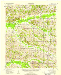 1952 Fancy Farm1958 Print · USGSWestern Kentucky's rural landscapes are documented here in the early fifties, showing the tight-knit farming communities of Graves and Carlisle counties. Trace family history through local landmarks like Fancy Farm, St Charles Sch, and Milburn Cem.
 - 1952 Map of Wickliffe, 1964 Print
 1952 Wickliffe1964 Print · USGSThe confluence of the Ohio and Mississippi rivers in the early fifties shows a bustling network of river commerce and rail lines. You can trace family roots through numerous rural landmarks like North Ballard Ch & Cem, Birds Point Sch, and the rail junction at Winford Junction.
 - 1953 Map of Cairo, 1959 Print
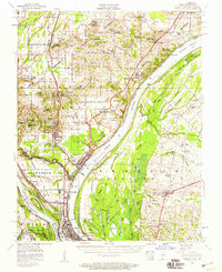 1953 Cairo1959 Print · USGSThe confluence of the Ohio and Mississippi Rivers is captured here in the mid-1950s, showing a landscape defined by floodgates and rail lines. Researchers can trace the layout of Cairo, find family plots at Hazelwood Cem, or locate landmarks like the National Cemetery and Cairo Airport.3 unique versions available
 - 1954 Map of Paducah
 1954 Paducah1954 Print · USGSSouthern Illinois and Western Kentucky intersect at the great river confluences during this mid-century era of rail and river industry. Genealogists and historians can trace family roots and commerce through river towns like Cairo, Metropolis, and Golconda, or along the tracks of the Illinois Central Railroad.2 unique versions available
 - 1954 Map of Barlow, 1955 Print
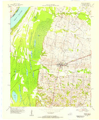 1954 Barlow1955 Print · USGSBallard County and the banks of the Ohio River appear in the mid-fifties as a landscape of productive farms and intricate bottomland sloughs. Researchers can trace family history at Old Hazelwood Cem or explore the rail-era footprint of Barlow and the Illinois Central Railroad Grade.
 - 1954 Map of Cairo, 1955 Print
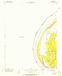 1954 Cairo1955 Print · USGSThe Kentucky side of the Ohio River in the mid-1950s reveals a landscape defined by the wetlands and sloughs of the BARLOW BOTTOMS. Genealogists and local historians can trace the paths of the GULF CENTRAL MOBILE AND OHIO RAILROAD near East Cairo and the unique topography of Twin Mounds.
 - 1954 Map of Bandana, 1955 Print
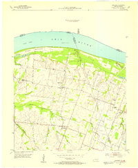 1954 Bandana1955 Print · USGSThe riverfront and farming communities of Ballard County are captured here in the mid-fifties, just south of the Ohio River. Genealogists and historians can trace family locations near Bandana, the uniquely named Monkeys Eyebrow, and Herrin Cem.
 - 1954 Map of Olmsted, 1955 Print
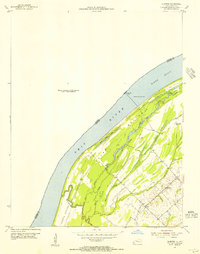 1954 Olmsted1955 Print · USGSThe Ohio River borderlands at the mid-century reveal a landscape of river navigation and bottomland farming. Genealogists and historians can trace the settlement of Oscar and its local landmarks like Oscar Ch, New Hope Ch, and Lock and Dam No 53.
 - 1954 Map of La Center, 1955 Print
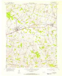 1954 La Center1955 Print · USGSWestern Kentucky farming communities thrive along the Illinois Central rail line during the mid-fifties. Genealogists can trace family roots through numerous landmarks like Ballard Memorial Sch and several family burial grounds including Skinner Cem and Pollock Cem.
 - 1954 Map of Heath, 1955 Print
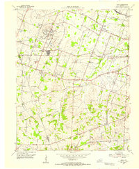 1954 Heath1955 Print · USGSMcCracken County in the mid-1950s shows a landscape of defense-era growth and deep-rooted rural communities. Researchers can trace the legacy of industrial sites like the Old Kentucky Ordnance Works or find family landmarks at Future City, Carneal Chapel, and Palestine Cem.
 - 1955 Map of Wickliffe
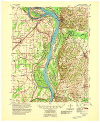 1955 Wickliffe1955 Print · USGSThe confluence of the great river systems at the Kentucky-Missouri-Illinois border is documented here in the mid-fifties. Researchers can locate vanished rural landmarks and river landings like Norfolk Ldg, Thirty Four Corner Sch, and the Mississippi Ch & Cem.
 - 1955 Map of Cairo
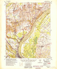 1955 Cairo1955 Print · USGSThe confluence of the great rivers at the southern tip of Illinois is captured here in the mid-1950s. Trace the vital rail hubs of Cairo, explore the grounds of the National Cemetery, and locate vanished rural schools like America Sch and Bryan Sch.
 - 1956 Map of Dyersburg, 1960 Print
 1956 Dyersburg1960 Print · USGSThe Four Rivers region comes alive in the mid-fifties, capturing the intricate borderlands of Tennessee, Kentucky, and Missouri. Genealogists and historians can trace the rail-and-river networks connecting Dyersburg, Caruthersville, and the shoreline of Reelfoot Lake.4 unique versions available
 - 1961 Map of Paducah
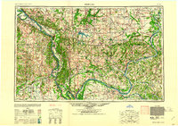 1961 Paducah1961 Print · USGSThe Lower Ohio Valley at mid-century is a landscape defined by its great rivers and newly formed reservoirs. Researchers can trace the riverfronts of Paducah and Metropolis, or locate smaller settlements like Old Shawneetown and Cave in Rock along the banks.2 unique versions available
 - 1964 Map of Paducah
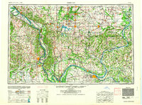 1964 Paducah1964 Print · USGSThe river-and-rail corridor of Southern Illinois and Western Kentucky is captured here during the height of the mid-century industrial era. Genealogists and researchers can trace local landmarks across several counties, from the rail yards of Paducah to the waters of Crab Orchard Lake and Kentucky Reservoir.2 unique versions available
Showing maps 1-25 of 96
Top cities of Ballard County
Frequently asked questions
- What are the different types of historical maps available for Ballard County?
- What is the oldest map of Ballard County?
- Where can I purchase historical maps of Ballard County for my home or office?
- Where can I download high-res historical maps of Ballard County?
- Are there historical topographic maps available for Ballard County?
- Is there historical aerial imagery available for Ballard County?
- Where are historical maps of Ballard County sourced from?