2000s (21st Century) Maps of Ballard County, Kentucky
Explore 52 historic maps of Ballard County from the 2000s (21st Century). These maps offer a rare glimpse into what life looked like during the 2000s — showing old roads, neighborhoods, homes, and landmarks that have changed or disappeared over time.
Whether you're researching your family's past, planning a metal detecting trip, or studying how Ballard County's landscape evolved across the 2000s, these high-resolution maps are a powerful tool for exploring the history of this region.
- Focus on a specific era: All maps on this page are from the 2000s, giving you a focused view of this time period.
- See what’s changed: Compare century-old streets, trails, and buildings to today's modern landscape using overlays and satellite layers.
- Research with precision: Use these maps for genealogy, historical research, land use analysis, or educational projects.
- View, download, or print: Maps are fully viewable online in high resolution, and can be downloaded or printed for your own records.
Start exploring Ballard County's history through authentic maps from the 2000s. This is your window into the past.
Ballard County, KY maps
(52)- 2010 Map of Lovelaceville, 2010 Print
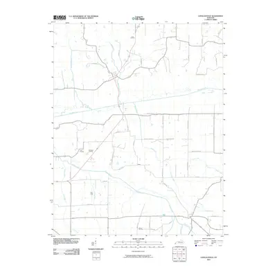 2010 Lovelaceville2010 Print · USGSLovelaceville and its surrounding creek valleys are documented here at the start of the 2010s. Genealogists and local historians can trace family locations through sites like Shaw, Bethlehem Cemetery, and the lands surrounding Mayfield Creek.
 - 2010 Map of Blandville, 2010 Print
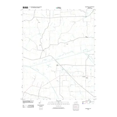 2010 Blandville2010 Print · USGSBallard County at the start of the 2010s shows a landscape of winding creeks and quiet rural junctions. Genealogists and local historians can trace family roots through Martin Cemetery, Hall Cemetery, and small settlements like Gage or Cunningham.
 - 2010 Map of Olmsted, 2010 Print
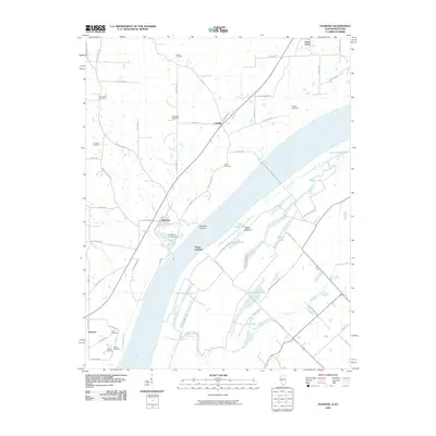 2010 Olmsted2010 Print · USGSThe Illinois-Kentucky borderlands along the Ohio River appear in detail during the early twenty-first century. Genealogists and local historians can trace family burial sites at Concord Cemetery and Calvin Cemetery or locate historic riverfronts at Caledonia Landing.
 - 2010 Map of Wyatt, 2010 Print
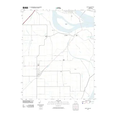 2010 Wyatt2010 Print · USGSThe convergence of the Ohio and Mississippi Rivers dominates this Missouri and Illinois borderland during the early twenty-first century. Genealogists and local historians can trace small river-plain settlements like Wilson City and Wyatt or locate family plots at Bird Cemetery and Allen Cemetery.
 - 2010 Map of La Center, 2010 Print
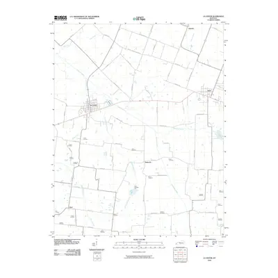 2010 La Center2010 Print · USGSWestern Kentucky at the start of the 2010s reveals a deeply rooted rural landscape centered on La Center and Kevil. Genealogists can trace family names through numerous local burial sites like Criswell Cemetery, Hines Cemetery, and Jackson Cemetery.
 - 2010 Map of Wickliffe, 2010 Print
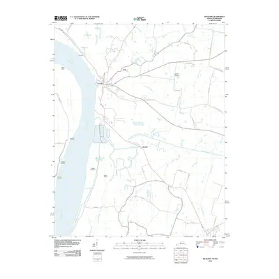 2010 Wickliffe2010 Print · USGSThe Kentucky-Missouri borderlands along the Mississippi River come to life in this early twenty-first-century survey. Local historians can trace river landings and rural roots through features like Pritchard Landing, Winford, and the Harrison-Hughes Cemetery.
 - 2010 Map of Barlow, 2010 Print
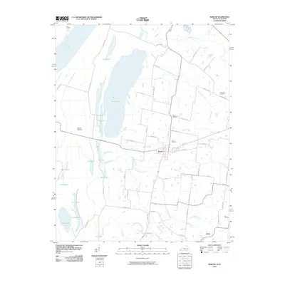 2010 Barlow2010 Print · USGSBarlow and the surrounding wetlands of Ballard County are captured here in the early twenty-first century as the landscape meets the Ohio River. Researchers can locate several family and community landmarks, such as Barlow Cemetery, Old Hazelwood Cemetery, and the expansive Barlow Bottoms.
 - 2010 Map of Heath, 2010 Print
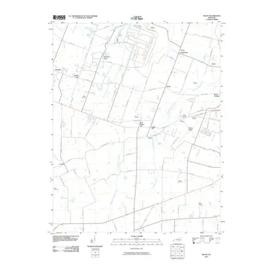 2010 Heath2010 Print · USGSMcCracken County in the early twenty-first century reveals a landscape defined by industrial heritage and a dense network of country cemeteries. Researchers can trace the footprint of the Old Kentucky Ordnance Works or locate family sites like Cowlin Cemetery and Graham Cemetery near Heath.
 - 2010 Map of Bandana, 2010 Print
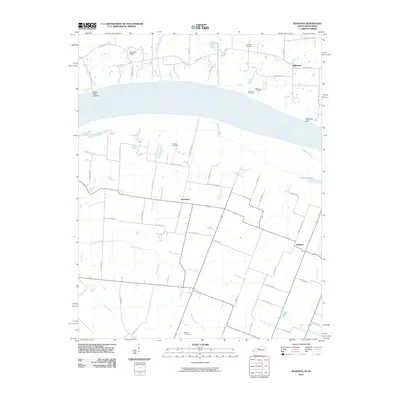 2010 Bandana2010 Print · USGSThe riverfront along the Kentucky and Illinois border comes alive in this study of the Ohio River valley. Genealogists and local historians can trace family roots through numerous sites like Ohio Chapel Cemetery, the settlement of Needmore, and Grand Chain Landing.
 - 2010 Map of Cairo, 2010 Print
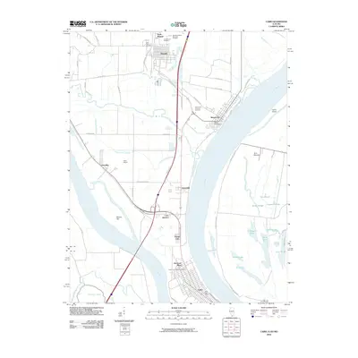 2010 Cairo2010 Print · USGSThe confluence of the Ohio and Mississippi Rivers is captured here in the early twenty-first century as it borders Illinois, Kentucky, and Missouri. Genealogists and historians can trace the developments of Cairo, Mound City, and Future City, alongside significant sites like the Mound City National Cemetery.
 - 2012 Map of Wyatt, 2012 Print
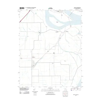 2012 Wyatt2012 Print · USGSThe confluence of the Ohio and Mississippi Rivers is captured here in the early twenty-first century. Genealogists and local historians can trace family roots through Bird Cemetery and Allen Cemetery or locate the settlements of Wyatt and Wilson City.
 - 2012 Map of Olmsted, 2012 Print
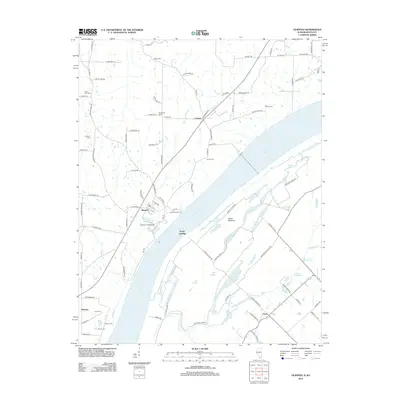 2012 Olmsted2012 Print · USGSThe Illinois-Kentucky border along the Ohio River is documented here during the early twenty-first century. Genealogists and local historians can locate riverfront sites like Caledonia Landing and interior landmarks including Bethlehem Cem and Concord Cem.
 - 2012 Map of Cairo, 2012 Print
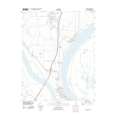 2012 Cairo2012 Print · USGSThe Illinois peninsula comes alive in this modern survey, showing the riverfront settlements where the Ohio and Mississippi meet. Researchers can trace the levee-protected streets of Cairo, find ancestors at the Mound City National Cem, or locate landmarks like Cairo Junction and Future City.
 - 2013 Map of Lovelaceville, 2013 Print
 2013 Lovelaceville2013 Print · USGSLovelaceville and the surrounding Kentucky creek-lands are documented here in the early twenty-first century. Researchers can trace rural lineages through sites like Bethlehem Cem and Cross Cem or locate the small community centers of Lowes and Shaw.
 - 2013 Map of Blandville, 2013 Print
 2013 Blandville2013 Print · USGSBallard County's rural landscape is mapped here in the early twenty-first century, showing the enduring pattern of Kentucky's small settlements. Genealogists and historians can trace family roots through sites like Robinson Cem, Hillcrest Cem, and the village of Blandville.
 - 2013 Map of Wickliffe, 2013 Print
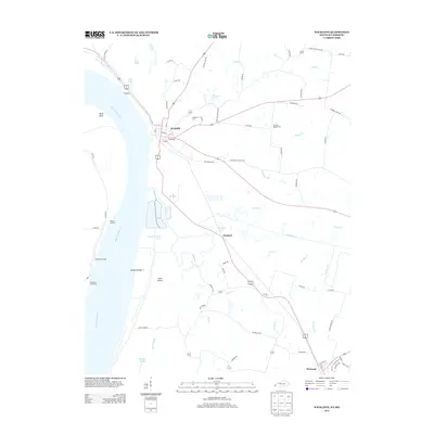 2013 Wickliffe2013 Print · USGSWestern Kentucky’s riverfront reaches are captured here in the early twenty-first century, showing the enduring relationship between the Mississippi River and its upland towns. Trace local ancestry and river history at Wickliffe Cem, Norfolk Landing, and the settlement of Winford.
 - 2013 Map of La Center, 2013 Print
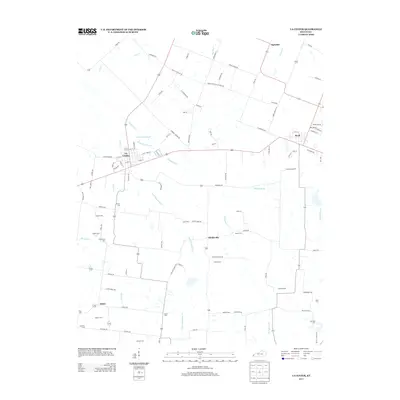 2013 La Center2013 Print · USGSWestern Kentucky farmland near the turn of the twenty-first century is preserved here, centered on the communities of La Center and Kevil. Genealogists will find a wealth of family history in the locations of the Terrell Cem, Jackson Cem, and Newton Cem.
 - 2013 Map of Barlow, 2013 Print
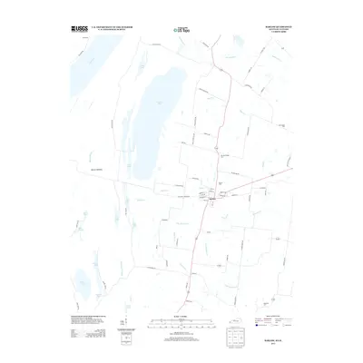 2013 Barlow2013 Print · USGSWestern Ballard County is captured here in the early 2010s, where the river-fed wetlands meet the settlement of Barlow. Genealogists and local historians can trace family sites at Old Hazelwood Cem or Watwood Cem and explore the complex hydrology of Barlow Bottoms and Brushy Pond.
 - 2013 Map of Heath, 2013 Print
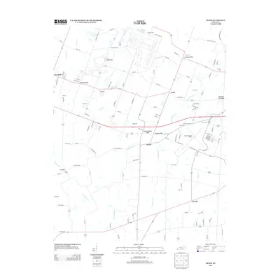 2013 Heath2013 Print · USGSWest of Paducah in the early twenty-first century, this area balances its mid-century industrial roots with modern aviation infrastructure. Researchers can trace family history through numerous burial grounds like Harmony Cem and Quarles Cem or explore the layout of the Old Kentucky Ordnance Works.
 - 2013 Map of Bandana, 2013 Print
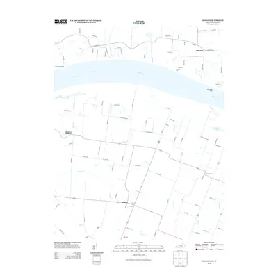 2013 Bandana2013 Print · USGSThe Ohio River corridor between Illinois and Kentucky comes alive in the early twenty-first century, showcasing a region defined by its waterway and small hamlets. Genealogists can trace family sites at Ohio Chapel Cem and Holman Cem or locate the uniquely named Monkeys Eyebrow.
 - 2015 Map of Wyatt, 2015 Print
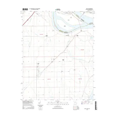 2015 Wyatt2015 Print · USGSThe tri-state junction where Illinois, Missouri, and Kentucky meet comes into sharp focus in this mid-2010s survey of the great river confluence. Genealogists and local historians can trace family sites at Bird Cemetery and Griggs Cemetery or explore the settlements of Wyatt and Wilson City.
 - 2015 Map of Cairo, 2015 Print
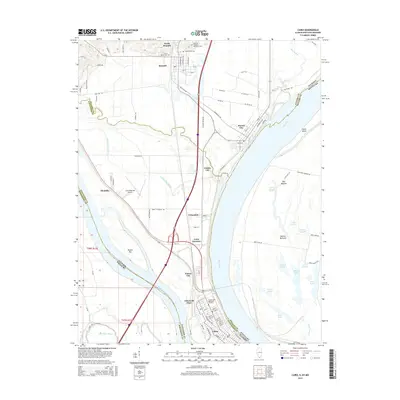 2015 Cairo2015 Print · USGSAt the meeting of the Ohio and Mississippi Rivers in the mid-2010s, this southern Illinois landscape shows a high concentration of riverfront settlements and burial grounds. Researchers can trace the layout of Cairo or find family history at Saint Marys Cem and Green Lawn Memorial Gardens.
 - 2015 Map of Olmsted, 2015 Print
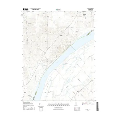 2015 Olmsted2015 Print · USGSThe Ohio River bottomlands of Pulaski County are captured here in the mid-2010s, showing a landscape defined by its floodplains and riverside bluffs. Researchers can trace local lineage through numerous family and community burial grounds, including Bethlehem Cem, Mount Zion Cem, and Wilson Cem.
 - 2016 Map of Wickliffe, 2016 Print
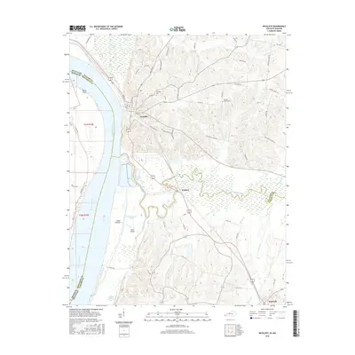 2016 Wickliffe2016 Print · USGSThe riverfront of Ballard and Carlisle counties comes alive in this modern survey of the Kentucky-Missouri borderlands. Researchers can trace the shifting banks of the Mississippi River and locate family burial sites at Wickliffe Cem or Harrison-Hughes Cem.
 - 2016 Map of Blandville, 2016 Print
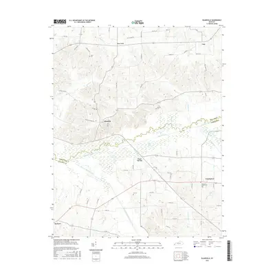 2016 Blandville2016 Print · USGSWestern Kentucky’s rural landscape is captured here in the years following the millennium, where the Ballard and Carlisle county lines meet. Genealogists can locate family burial sites at Hillcrest Cem and Robinson Cem or trace the early paths near New York and Magee Springs.
Showing maps 1-25 of 52
Top cities of Ballard County
Frequently asked questions
- What are the different types of historical maps available for Ballard County?
- What is the oldest map of Ballard County?
- Where can I purchase historical maps of Ballard County for my home or office?
- Where can I download high-res historical maps of Ballard County?
- Are there historical topographic maps available for Ballard County?
- Is there historical aerial imagery available for Ballard County?
- Where are historical maps of Ballard County sourced from?