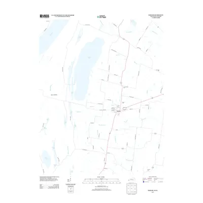
2013 Map of Barlow
USGS Topo · Published 2013About this map
Barlow Bottoms dominates the western portion of this Ballard County landscape, where the Ohio River creates a complex network of wetlands and backwaters. This alluvial environment is characterized by a series of significant water bodies, including Brushy Pond, Clear Lake, and Swan Pond, which are interconnected by features like Blango Slough and Shawnee Cr Slough. The concentration of sloughs and ponds suggests a terrain historically shaped by the shifting course of the river, providing a look at the hydrography of the region before modern drainage or levee modifications might have altered these natural patterns.
Find a feature on this map
74 named features on this map. Tap any name to fly to it.
Don’t see what you’re looking for? This feature index may not catch every label — zoom into the map to look around manually.
Map Details
Editions of this 2013 Barlow Map
This is the sole edition of this map. No revisions or reprints were ever made.
Other maps of this area

1928 · La Center
USGS Topo · 1:62,500

1931 · Cairo
USGS Topo · 1:62,500

1932 · La Center
USGS Topo · 1:62,500

1933 · Cairo
USGS Topo · 1:62,500

1939 · Wickliffe
USGS Topo · 1:62,500

1939 · Cairo
USGS Topo · 1:62,500

1949 · Paducah
USGS Topo · 1:250,000

1950 · Paducah
USGS Topo · 1:250,000

1951 · Blandville
USGS Topo · 1:24,000

1951 · Wickliffe
USGS Topo · 1:24,000