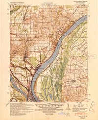
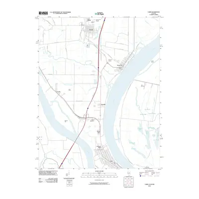
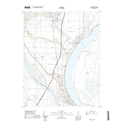
1939 Map of Cairo
USGS Topo · Published 1945About this map
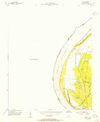
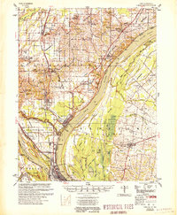
The confluence of the Ohio River and the Mississippi River creates a high-stakes landscape of hydraulic engineering and river commerce at the southern tip of Illinois. Following a decade of significant river revisions by the Mississippi River Commission, this map reveals a complex network of flood protection, featuring numerous flood gates and levees protecting the low-lying settlements of Mound City, Urbandale, and Future City. The convergence of several major rail lines, including the Illinois Central and the Mobile and Ohio, underscores the area's role as a vital transportation hub. Beyond the industrialized riverfronts, the Kentucky and Illinois floodplains are dotted with numerous small lakes and sloughs like Shelby Lake and Lake Slough, while the northern uplands show established rural communities around Villa Ridge and Pulaski. Local history is anchored by landmarks such as the National Cem and the Grand Chain navigational hazard on the Ohio River.
Find a feature on this map
100 named features on this map. Tap any name to fly to it.
Don’t see what you’re looking for? This feature index may not catch every label — zoom into the map to look around manually.
Map Details
Editions of this 1939 Cairo Map
This is the sole edition of this map. No revisions or reprints were ever made.
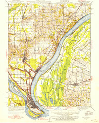
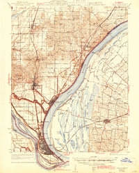
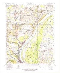
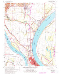
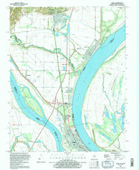
Historical Maps of Cairo Through Time
14 maps found
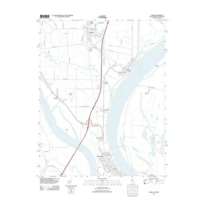
1931 Cairo
Alexander County, IL
1933 Cairo
Alexander County, IL
1939 Cairo
Alexander County, IL
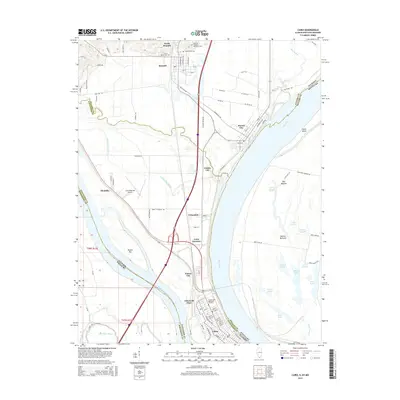
1953 Cairo
Alexander County, IL
1954 Cairo
Alexander County, IL
1955 Cairo
Alexander County, IL
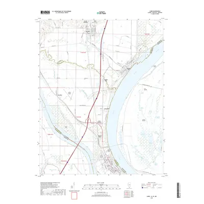
1967 Cairo
Alexander County, IL
1993 Cairo
Alexander County, IL
2010 Cairo
Alexander County, IL
2012 Cairo
Alexander County, IL
2015 Cairo
Alexander County, IL
2018 Cairo
Alexander County, IL
2021 Cairo
Alexander County, IL
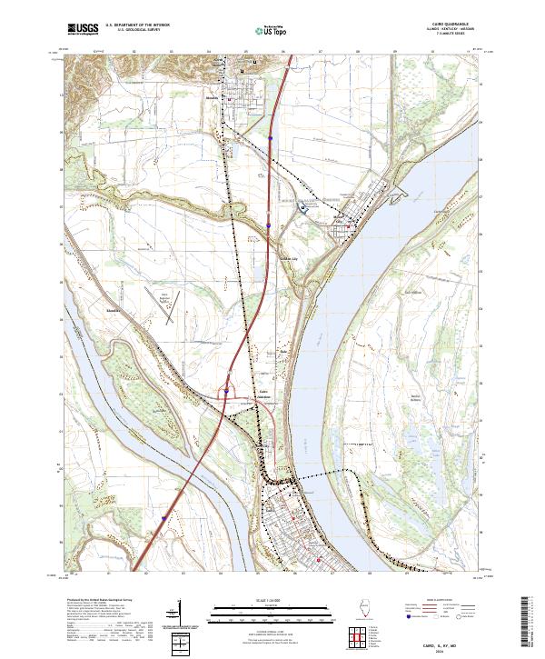
2024 Cairo
Alexander County, IL