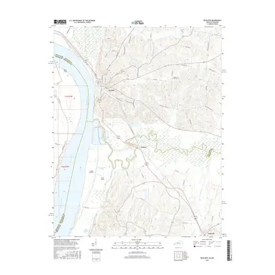
2016 Map of Wickliffe
USGS Topo · Published 2016About this map
Wickliffe stands at a strategic bluff overlooking the confluence of major waterways and the expansive Mississippi River, where the state lines of Kentucky and Missouri meet. This 2016 survey illustrates the river's complex hydrological features, including Island Number 1 and its associated Island Number 1 Chute, alongside Cane Island. The landscape is defined by the winding course of Mayfield Creek and a network of sloughs and ponds, such as Straight Slough and Winford Pond, which indicate the low-lying, alluvial nature of the terrain east of the main river channel.
Find a feature on this map
73 named features on this map. Tap any name to fly to it.
Don’t see what you’re looking for? This feature index may not catch every label — zoom into the map to look around manually.
Map Details
Editions of this 2016 Wickliffe Map
This is the sole edition of this map. No revisions or reprints were ever made.
Other maps of this area

1928 · La Center
USGS Topo · 1:62,500

1931 · Cairo
USGS Topo · 1:62,500

1932 · La Center
USGS Topo · 1:62,500

1933 · Cairo
USGS Topo · 1:62,500

1939 · Wickliffe
USGS Topo · 1:62,500

1939 · Cairo
USGS Topo · 1:62,500

1949 · Paducah
USGS Topo · 1:250,000

1950 · Paducah
USGS Topo · 1:250,000

1951 · Blandville
USGS Topo · 1:24,000

1951 · Wickliffe SW
USGS Topo · 1:24,000