
1951 Map of Wickliffe SW
USGS Topo · Published 1953About this map
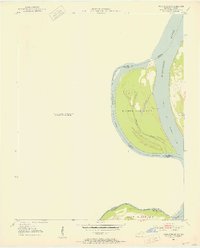
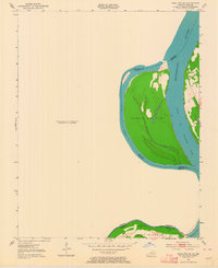
The Mississippi River creates a complex borderland between Kentucky and Missouri in this early 1950s survey. The map focuses on the large river landmasses of Islands Nos 2 3 & 4 and the northern tip of Wolf Island No 5. These islands, separated from the mainland by the Chute of Islands 2 3 & 4 and Tennessee Slough, illustrate the shifting fluvial geography of the deep South.
Find a feature on this map
14 named features on this map. Tap any name to fly to it.
Don’t see what you’re looking for? This feature index may not catch every label — zoom into the map to look around manually.
Map Details
Editions of this 1951 Wickliffe SW Map
3 editions found
Other maps of this area

1939 · Wickliffe
USGS Topo · 1:62,500

1939 · Charleston
USGS Topo · 1:62,500

1939 · Hickman
USGS Topo · 1:62,500

1939 · Bayouville
USGS Topo · 1:62,500

1951 · Oakton
USGS Topo · 1:24,000

1951 · Wolf Island
USGS Topo · 1:24,000

1951 · Arlington
USGS Topo · 1:24,000

1951 · Wickliffe
USGS Topo · 1:24,000

1952 · Wickliffe
USGS Topo · 1:62,500

1954 · Charleston
USGS Topo · 1:62,500