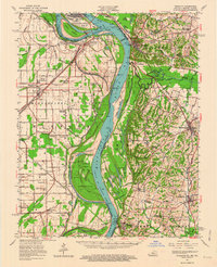
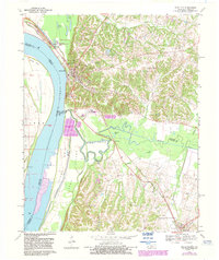
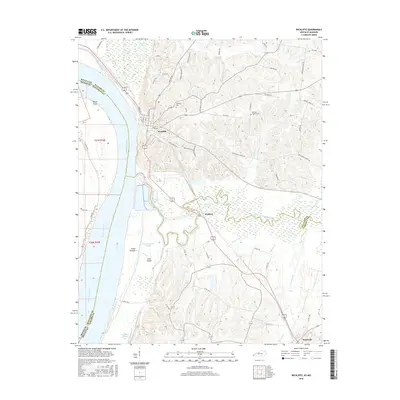
1952 Map of Wickliffe
USGS Topo · Published 1964About this map
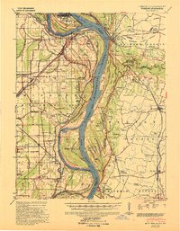
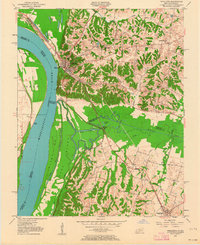
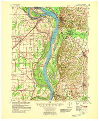
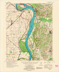
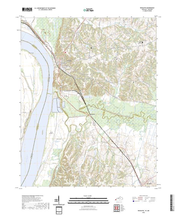
The confluence of the Ohio River and Mississippi River creates a dynamic landscape where Cairo, Illinois, faces the riverfront bluffs of Kentucky and the floodplain of Missouri. This 1950s survey documents a critical junction of mid-century transportation, featuring the Illinois Central Railroad and the Gulf Mobile and Ohio Railroad converging near Wickliffe. The map reveals the intricate network of bottomland agriculture and river management, notably around Birds Point and the complex system of towheads and islands like Angelo Towhead and Obryan Towhead.
Find a feature on this map
79 named features on this map. Tap any name to fly to it.
Don’t see what you’re looking for? This feature index may not catch every label — zoom into the map to look around manually.
Map Details
Editions of this 1952 Wickliffe Map
This is the sole edition of this map. No revisions or reprints were ever made.
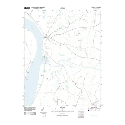
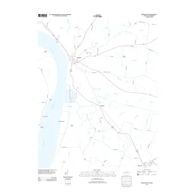
Historical Maps of Cairo Through Time
11 maps found
1939 Wickliffe
Ballard County, KY
1951 Wickliffe
Ballard County, KY
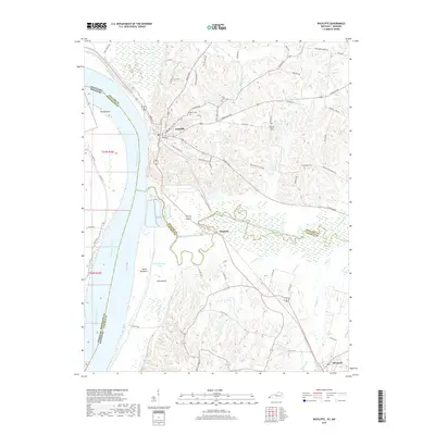
1952 Wickliffe
Ballard County, KY
1955 Wickliffe
Ballard County, KY
1970 Wickliffe
Ballard County, KY
1972 Wickliffe
Ballard County, KY
2010 Wickliffe
Ballard County, KY
2013 Wickliffe
Ballard County, KY
2016 Wickliffe
Ballard County, KY
2019 Wickliffe
Ballard County, KY
2022 Wickliffe
Ballard County, KY