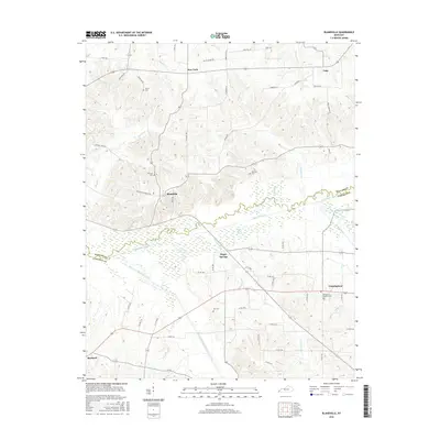
2016 Map of Blandville
USGS Topo · Published 2016About this map
Mayfield Creek and its extensive wetlands divide the landscape between Blandville in Ballard County and Cunningham in Carlisle County. The broad bottomlands of the Saint Arbor Slough and West Fork Mayfield Creek define the local topography, creating a natural barrier that influenced the development of these rural communities. To the north, the small settlements of New York and Gage sit among a network of family-named landmarks and historical burial grounds, including Martin Cem and Hillcrest Cem. The map reveals a deeply rooted agrarian pattern, where roads like Bethlehem Church Rd and Hershel Jones Rd connect isolated farmsteads and rural crossroads. The southern portion of the sheet transitions toward the outskirts of Bardwell, providing a detailed look at the drainage systems of Hurricane Cr and Coon Br that feed the region's primary waterways.
Find a feature on this map
55 named features on this map. Tap any name to fly to it.
Don’t see what you’re looking for? This feature index may not catch every label — zoom into the map to look around manually.
Map Details
Editions of this 2016 Blandville Map
This is the sole edition of this map. No revisions or reprints were ever made.
Other maps of this area

1928 · La Center
USGS Topo · 1:62,500

1931 · Cairo
USGS Topo · 1:62,500

1932 · La Center
USGS Topo · 1:62,500

1933 · Cairo
USGS Topo · 1:62,500

1939 · Wickliffe
USGS Topo · 1:62,500

1939 · Cairo
USGS Topo · 1:62,500

1949 · Paducah
USGS Topo · 1:250,000

1950 · Paducah
USGS Topo · 1:250,000

1951 · Blandville
USGS Topo · 1:24,000

1951 · Arlington
USGS Topo · 1:24,000