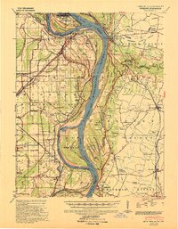
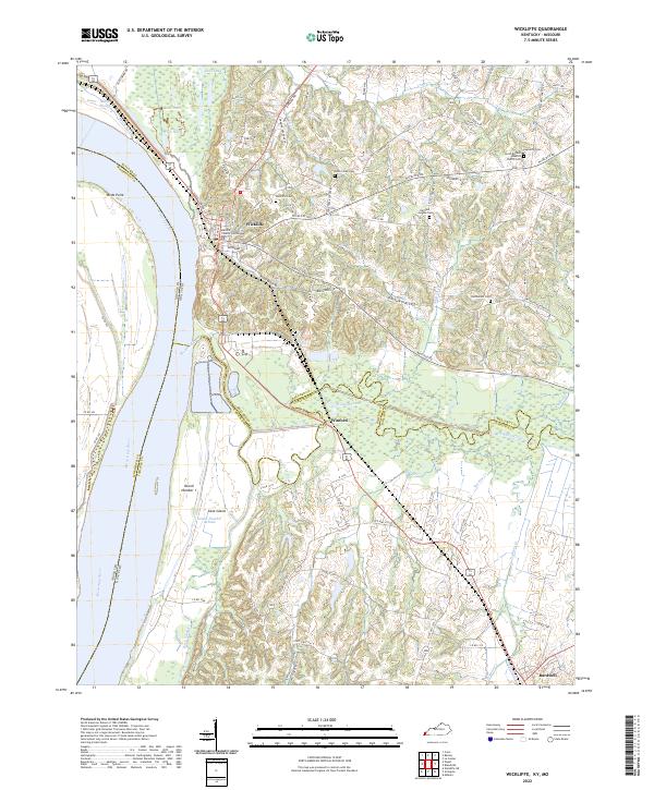
1939 Map of Wickliffe
USGS Topo · Published 1941About this map
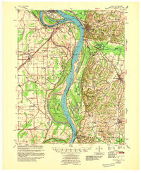
The Mississippi River and Ohio River converge in this 1930s survey, illustrating a landscape defined by high bluffs and low-lying alluvial plains across three states. In Kentucky, the town of Wickliffe sits atop the escarpment overlooking the massive Cane Island and Cane Island Chute, while the community of Fort Jefferson marks the historic riverside south of the confluence. The map reveals an intricate network of drainage and flood control, including the Main Ditch and numerous levees protecting the bottomlands from the river's meandering bends like Puntney Bend and Lucas Bend.
Find a feature on this map
106 named features on this map. Tap any name to fly to it.
Don’t see what you’re looking for? This feature index may not catch every label — zoom into the map to look around manually.
Map Details
Editions of this 1939 Wickliffe Map
2 editions found
Historical Maps of Cairo Through Time
11 maps found
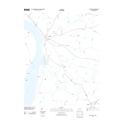
1939 Wickliffe
Ballard County, KY
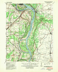
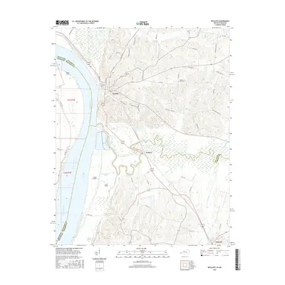
1951 Wickliffe
Ballard County, KY
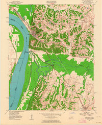
1952 Wickliffe
Ballard County, KY
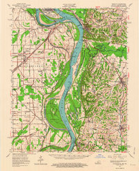
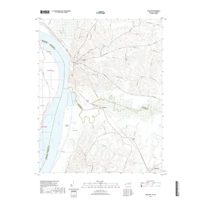
1955 Wickliffe
Ballard County, KY
1970 Wickliffe
Ballard County, KY
1972 Wickliffe
Ballard County, KY
2010 Wickliffe
Ballard County, KY
2013 Wickliffe
Ballard County, KY
2016 Wickliffe
Ballard County, KY
2019 Wickliffe
Ballard County, KY
2022 Wickliffe
Ballard County, KY