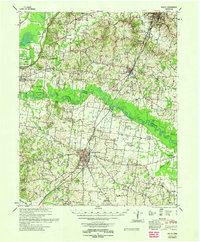
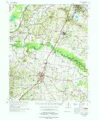
1962 Map of Rialto
USGS Topo · Published 1962About this map
The Hatchie River winds through the heart of the coastal plain in West Tennessee, serving as the primary geographic divider between Lauderdale County and Tipton County. This 1960s landscape is defined by its agrarian roots and the extensive network of the Illinois Central railroad, which connects the county seat of Covington to outlying communities like Henning and Ripley. The map reveals a high density of rural institutions, with many locations serving double-duty as both religious and educational centers, such as Antioch Ch & Sch and Plumer Grove Ch & Sch. In the northwest, the Fort Pillow State Prison Farm occupies a large tract near the marshy environs of Sunk Lake. This survey provides a clear look at the region’s development prior to major modern industrial shifts, highlighting established family-named sites like Smith's Grove Ch and Leighs Chapel.
Find a feature on this map
80 named features on this map. Tap any name to fly to it.
Don’t see what you’re looking for? This feature index may not catch every label — zoom into the map to look around manually.
Map Details
Editions of this 1962 Rialto Map
This is the sole edition of this map. No revisions or reprints were ever made.
Historical Maps of Covington Through Time
15 maps found
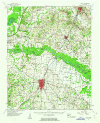
1961 Rialto
Tipton County, TN
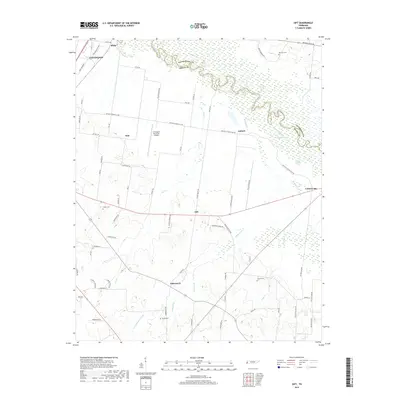
1962 Rialto
Tipton County, TN
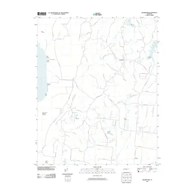
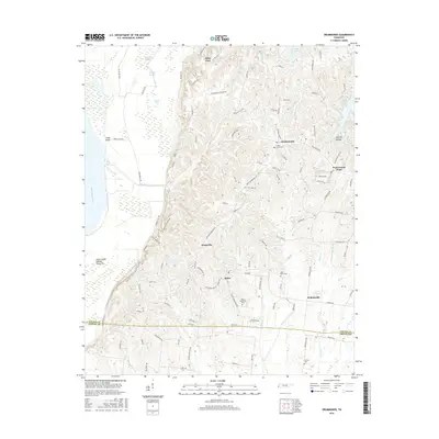
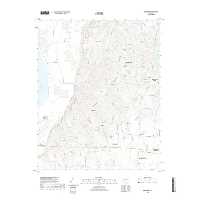
1970 Drummonds
Tipton County, TN
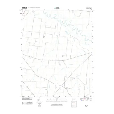
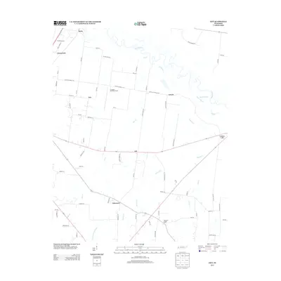
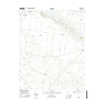
1972 Gift
Tipton County, TN
1977 Rialto
Tipton County, TN
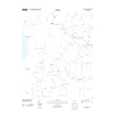
2010 Drummonds
Tipton County, TN
2010 Gift
Tipton County, TN
2013 Drummonds
Tipton County, TN
2013 Gift
Tipton County, TN
2016 Drummonds
Tipton County, TN
2016 Gift
Tipton County, TN
2019 Drummonds
Tipton County, TN
2019 Gift
Tipton County, TN
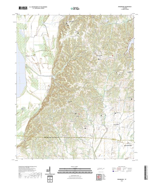
2022 Drummonds
Tipton County, TN
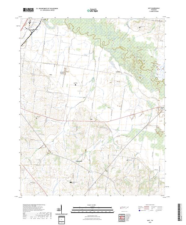
2022 Gift
Tipton County, TN