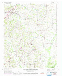
1965 Map of Brighton
USGS Topo · Published 1992About this map
Brighton serves as the primary rail hub on this mid-century survey, situated along the Illinois Central Gulf railroad as it cuts through the rural landscape of Tipton and Shelby counties. The map captures a detailed agrarian community network anchored by local institutions like the Bloomington Sch and the Dunlap Orphanage. A series of small settlements including Idaville, Madge, and the curiously named Mudville are connected by a web of local roads such as Tracy Road and Brunswick Road.
Find a feature on this map
35 named features on this map. Tap any name to fly to it.
Don’t see what you’re looking for? This feature index may not catch every label — zoom into the map to look around manually.
Map Details
Editions of this 1965 Brighton Map
3 editions found
Other maps of this area

1942 · Millington
USGS Topo · 1:62,500

1954 · Mason
USGS Topo · 1:62,500

1956 · Blytheville
USGS Topo · 1:250,000

1959 · Blytheville
USGS Topo · 1:250,000

1960 · Millington
USGS Topo · 1:62,500

1961 · Rialto
USGS Topo · 1:62,500

1962 · Rialto
USGS Topo · 1:62,500

1963 · Osceola
USGS Topo · 1:62,500

1965 · Osceola
USGS Topo · 1:62,500

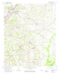
1965 · Brighton
USGS Topo · 1:24,000