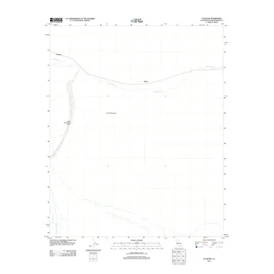
2012 Map of Glasgow
USGS Topo · Published 2012About this map
Glasgow and Kerens anchor this desert landscape in San Bernardino County, illustrating the sparse settlement patterns along the rail line that traverses the Mojave. The terrain is dominated by the expansive Devils Playground, a distinctive arid region defined by shifting sands and intermittent drainage systems. Natural drainage features such as Kelso Wash, Devils Playground Wash, and Budweiser Wash provide a clear view of the hydrological network that dictates the geography of this remote area. For the researcher, this 2012 survey by the U.S. Geological Survey offers a precise look at the junction of human transport infrastructure and the raw, unyielding environment of the high desert.
Find a feature on this map
6 named features on this map. Tap any name to fly to it.
Don’t see what you’re looking for? This feature index may not catch every label — zoom into the map to look around manually.
Map Details
Editions of this 2012 Glasgow Map
This is the sole edition of this map. No revisions or reprints were ever made.
Other maps of this area

1910 · Ivanpah
USGS Topo · 1:250,000

1912 · Ivanpah
USGS Topo · 1:250,000

1942 · Ivanpah
USGS Topo · 1:250,000

1942 · Amboy
USGS Topo · 1:250,000

1943 · Amboy
USGS Topo · 1:250,000

1947 · Kingman
USGS Topo · 1:250,000

1948 · Kingman
USGS Topo · 1:250,000

1954 · Needles
USGS Topo · 1:250,000

1954 · Kingman
USGS Topo · 1:250,000

1955 · Kingman
USGS Topo · 1:250,000