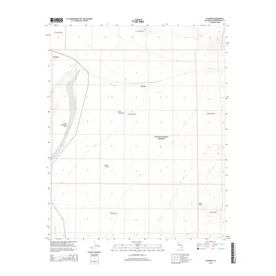
2015 Map of Glasgow
USGS Topo · Published 2015About this map
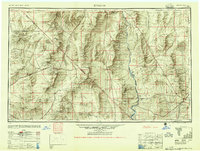
Glasgow and Kerens anchor this desert landscape within the expansive Mojave National Preserve. The map documents a significant intersection of arid landforms, where the shifting sands of the Kelso Dunes meet the wide, braided drainage of Kelso Wash. This area is characterized by the vast Devils Playground, an appropriate name for the complex alluvial patterns formed by seasonal runoff through Devils Playground Wash and Budweiser Wash. These ephemeral waterways illustrate the region's hydrologic history, showing how water shapes the Mojave Desert floor between periods of extreme drought. The layout of the Glasgow and Kerens sites along the central transport corridor provides a clear look at the infrastructure required to traverse this section of San Bernardino County during the early 21st century.
Find a feature on this map
15 named features on this map. Tap any name to fly to it.
Don’t see what you’re looking for? This feature index may not catch every label — zoom into the map to look around manually.
Map Details
Editions of this 2015 Glasgow Map
This is the sole edition of this map. No revisions or reprints were ever made.
Other maps of this area
1910 · Ivanpah
USGS Topo · 1:250,000
1912 · Ivanpah
USGS Topo · 1:250,000
1942 · Ivanpah
USGS Topo · 1:250,000
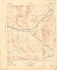
1942 · Amboy
USGS Topo · 1:250,000
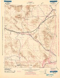
1943 · Amboy
USGS Topo · 1:250,000

1947 · Kingman
USGS Topo · 1:250,000

1948 · Kingman
USGS Topo · 1:250,000
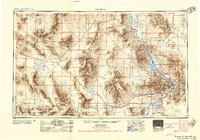
1954 · Needles
USGS Topo · 1:250,000
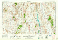
1954 · Kingman
USGS Topo · 1:250,000
1955 · Kingman
USGS Topo · 1:250,000