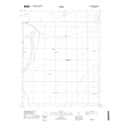
2018 Map of Glasgow
USGS Topo · Published 2018About this map
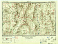
The high desert landscape of Glasgow and Kerens is defined by a sparse rail corridor and the expansive reaches of the Mojave National Preserve. This 2018 survey reveals the interaction between infrastructure and some of California's most distinct geological features, notably the Devils Playground and the Kelso Dunes to the southeast. The terrain is marked by seasonal drainage patterns, with Kelso Wash cutting through the center of the quadrangle, joined by the curiously named Budweiser Wash and the deep incision of Bull Canyon. These features illustrate the drainage basin of the Mojave Desert, where the vast topography has historically dictated the placement of rail sidings and remote settlements. For those tracing the geography of San Bernardino County, the map provides a clear look at the township and range boundaries that still organize this arid expanse.
Find a feature on this map
16 named features on this map. Tap any name to fly to it.
Don’t see what you’re looking for? This feature index may not catch every label — zoom into the map to look around manually.
Map Details
Editions of this 2018 Glasgow Map
This is the sole edition of this map. No revisions or reprints were ever made.
Other maps of this area
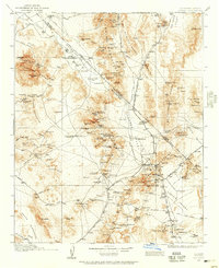
1910 · Ivanpah
USGS Topo · 1:250,000
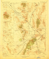
1912 · Ivanpah
USGS Topo · 1:250,000
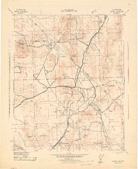
1942 · Ivanpah
USGS Topo · 1:250,000
1942 · Amboy
USGS Topo · 1:250,000
1943 · Amboy
USGS Topo · 1:250,000

1947 · Kingman
USGS Topo · 1:250,000

1948 · Kingman
USGS Topo · 1:250,000
1954 · Needles
USGS Topo · 1:250,000
1954 · Kingman
USGS Topo · 1:250,000
1955 · Kingman
USGS Topo · 1:250,000