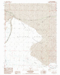
1985 Map of Glasgow
USGS Topo · Published 1985About this map
Glasgow and Kerens anchor the northern corridor of this desert landscape, situated along a transportation route defined by the Kelso Wash. The terrain is characterized by the stark transition from the Bristol Mountains in the west to the expansive sands of the Devils Playground. As part of the East Mojave National Scenic Area, this region showcases a complex network of ephemeral drainage systems, including Budweiser Wash and Devils Playground Wash.
Find a feature on this map
19 named features on this map. Tap any name to fly to it.
Don’t see what you’re looking for? This feature index may not catch every label — zoom into the map to look around manually.
Map Details
Editions of this 1985 Glasgow Map
This is the sole edition of this map. No revisions or reprints were ever made.
Other maps of this area

1910 · Ivanpah
USGS Topo · 1:250,000

1912 · Ivanpah
USGS Topo · 1:250,000

1942 · Ivanpah
USGS Topo · 1:250,000

1942 · Amboy
USGS Topo · 1:250,000

1943 · Amboy
USGS Topo · 1:250,000

1947 · Kingman
USGS Topo · 1:250,000

1948 · Kingman
USGS Topo · 1:250,000

1954 · Needles
USGS Topo · 1:250,000

1954 · Kingman
USGS Topo · 1:250,000

1955 · Kingman
USGS Topo · 1:250,000