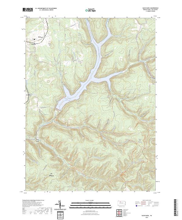
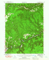
2023 Map of Glen Hazel
USGS Topo · Published 2023About this map
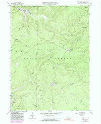
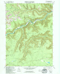
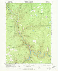
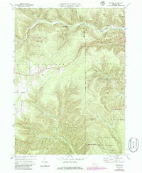
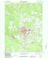
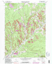
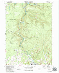
The East Branch Clarion River Lake dominates this portion of Elk County, surrounded by a complex network of hollows and ridges characteristic of the Allegheny Plateau. The southern edge of the map reaches into the northern outskirts of St. Marys, while small settlements like Glen Hazel, Rasselas, and Midmont are scattered along the valleys and upland intersections. Historically significant transportation routes, such as the Shawmut Grade Rd, trace the paths of former industrial corridors now repurposed for recreation as the Shawmut Grade Rd Trl. Local heritage is marked by sites like the Holy Cross Cem near Pistner Hill, and the landscape's hydrology is intricately detailed through features like Carnocker Spring and the winding Middle Fork East Branch Clarion River.
Find a feature on this map
71 named features on this map. Tap any name to fly to it.
Don’t see what you’re looking for? This feature index may not catch every label — zoom into the map to look around manually.
Map Details
Editions of this 2023 Glen Hazel Map
This is the sole edition of this map. No revisions or reprints were ever made.
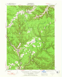
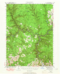
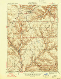
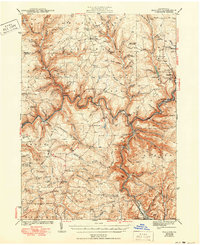
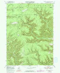
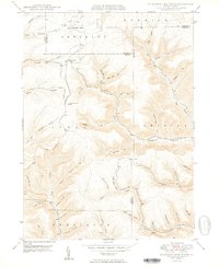
Historical Maps of Midmont Through Time
27 maps found
1935 Mt. Jewett
Elk County, PA
1940 Hallton
Elk County, PA
1940 Mt. Jewett
Elk County, PA
1941 Benezette
Elk County, PA

1943 Benezette
Elk County, PA
1943 Hallton
Elk County, PA
1948 Wildwood Fire Tower
Elk County, PA
1950 Wildwood Fire Tower
Elk County, PA
1966 Russell City
Elk County, PA
1969 Dents Run
Elk County, PA

1969 Glen Hazel
Elk County, PA
1969 Hallton
Elk County, PA

1969 Portland Mills
Elk County, PA
1969 Rathbun
Elk County, PA
1969 Saint Marys
Elk County, PA
1970 Brandy Camp
Elk County, PA
1970 Carman
Elk County, PA

2023 Brandy Camp
Elk County, PA

2023 Carman
Elk County, PA
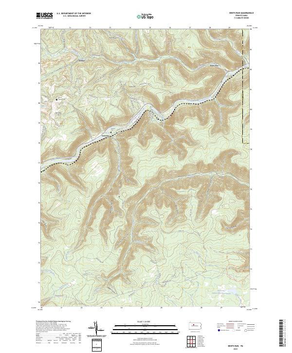
2023 Dents Run
Elk County, PA
2023 Glen Hazel
Elk County, PA

2023 Hallton
Elk County, PA
2023 Portland Mills
Elk County, PA

2023 Rathbun
Elk County, PA

2023 Russell City
Elk County, PA

2023 Saint Marys
Elk County, PA

2023 Wildwood Fire Tower
Elk County, PA
Featured Locations
- Saint Marys, PA
- Midmont, Jones Township
- Rasselas, Jones Township
- Glen Hazel, Jones Township
- Instanter, Jones Township