Loading...
Loading map...2024 Map of Glendora
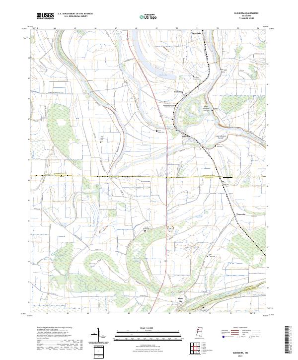
USGS Topo · Published 2024About this map
The Tallahatchie River meanders through this fertile delta landscape, defining the boundary between Tallahatchie and Leflore Counties. The area is characterized by complex hydrology, including the oxbow of Swan Lake and artificial engineering such as the Upper Glendora Cut-Off and Lower Glendora Cut-Off, which likely aid in drainage and flood control for the surrounding agriculture.
Find a feature on this map
71 named features on this map. Tap any name to fly to it.
Don’t see what you’re looking for? This feature index may not catch every label — zoom into the map to look around manually.
Map Details
Date Portrayed2024
Date Published2024
PublisherU.S. Geological Survey
Map TypeTopographic
Scale1:24000
Physical Dimensions24 x 29 inches
Editions of this 2024 Glendora Map
This is the sole edition of this map. No revisions or reprints were ever made.
Historical Maps of Black Bayou Junction Through Time
Featured Locations
Source Details
SourceU.S. Geological Survey
CopyrightPublic Domain