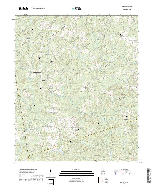
2024 Map of Glenn
USGS Topo · Published 2024About this map
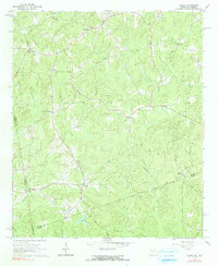
Stateline Baptist Church and its accompanying Stateline Baptist Church Cem anchor the center of this rural landscape where Georgia meets Alabama. The terrain is defined by the winding paths of Whitewater Creek and Little Wehadkee Creek, which carved the valleys that dictated early settlement patterns in Heard County and Troup County. Small agricultural communities and historical crossroads such as O'Neals Crossroads, Waresville, and Denver are connected by a network of local roads like Glenn Road and Victory Road.
Find a feature on this map
89 named features on this map. Tap any name to fly to it.
Don’t see what you’re looking for? This feature index may not catch every label — zoom into the map to look around manually.
Map Details
Editions of this 2024 Glenn Map
This is the sole edition of this map. No revisions or reprints were ever made.