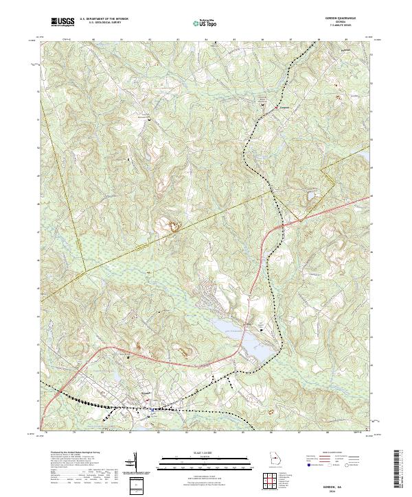
2024 Map of Gordon
USGS Topo · Published 2024About this map
Gordon serves as a central hub on this contemporary survey of the Georgia landscape where Wilkinson, Jones, and Baldwin counties converge. The local economy and geography are defined by the Norfolk Southern rail line and large water features like Lake Tchulokaho and Freeport Kaolin Lake, reflecting the region's industrial ties to kaolin mining. A high density of rural burial grounds, including the Union Hill Methodist Cem and the Cooperville Baptist Church Cem, provides a detailed map for genealogists tracing family lineages across these county lines.
Find a feature on this map
117 named features on this map. Tap any name to fly to it.
Don’t see what you’re looking for? This feature index may not catch every label — zoom into the map to look around manually.
Map Details
Editions of this 2024 Gordon Map
This is the sole edition of this map. No revisions or reprints were ever made.
Other maps of this area
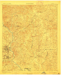
1912 · Milledgeville
USGS Topo · 1:62,500

1916 · Irwinton
USGS Topo · 1:62,500

1920 · Irwinton
USGS Topo · 1:62,500

1953 · Athens
USGS Topo · 1:250,000
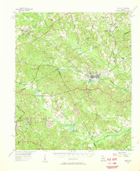
1956 · Gordon
USGS Topo · 1:62,500

1957 · Macon
USGS Topo · 1:250,000

1958 · Macon
USGS Topo · 1:250,000

1958 · Athens
USGS Topo · 1:250,000

1959 · Athens
USGS Topo · 1:250,000

1963 · Athens
USGS Topo · 1:250,000