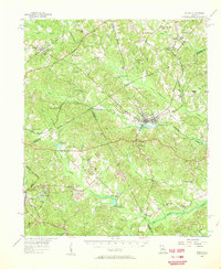
1956 Map of Gordon
USGS Topo · Published 1957About this map
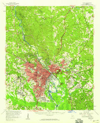
The industrial and rural landscape of central Georgia is defined here by the Central of Georgia railroad, which connects several key local centers including Gordon and Stevens Pottery. The terrain is deeply carved by drainage systems like Commissioner Creek and Little River, where the presence of a Strip Mine and Clay Pit near the southern boundary points to the region's significant kaolin and clay mining heritage.
Find a feature on this map
74 named features on this map. Tap any name to fly to it.
Don’t see what you’re looking for? This feature index may not catch every label — zoom into the map to look around manually.
Map Details
Editions of this 1956 Gordon Map
This is the sole edition of this map. No revisions or reprints were ever made.
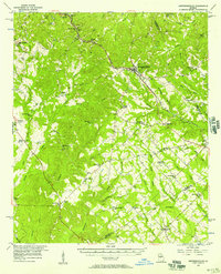
Other maps of this area
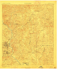
1912 · Milledgeville
USGS Topo · 1:62,500

1916 · Irwinton
USGS Topo · 1:62,500

1920 · Irwinton
USGS Topo · 1:62,500

1953 · Athens
USGS Topo · 1:250,000

1956 · Warner Robins
USGS Topo · 1:62,500
1956 · Jeffersonville
USGS Topo · 1:62,500
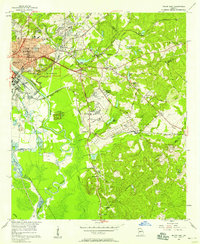
1956 · Macon East
USGS Topo · 1:24,000
1956 · Macon
USGS Topo · 1:62,500

1957 · Macon
USGS Topo · 1:250,000

1958 · Macon
USGS Topo · 1:250,000