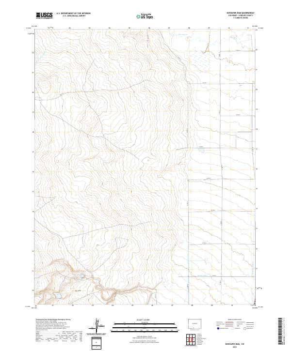
2022 Map of Goshawk Dam
USGS Topo · Published 2022About this map
The Poso stands as a primary topographical landmark in this high-altitude landscape of southern Colorado. The map reveals an intricate system of water management essential to the region's agricultural history, featuring the Romero Ditch, Mogote Ditch, and Bountiful Lateral. These man-made channels diverge from the natural course of the La Jara Arroyo, demonstrating the early engineering required to sustain settlement in the arid San Luis Valley. This network of ditches and laterals, etched across the sections of T33N, T34N, and T35N, underscores the enduring importance of water rights and irrigation infrastructure in Conejos County.
Find a feature on this map
25 named features on this map. Tap any name to fly to it.
Don’t see what you’re looking for? This feature index may not catch every label — zoom into the map to look around manually.
Map Details
Editions of this 2022 Goshawk Dam Map
This is the sole edition of this map. No revisions or reprints were ever made.
Other maps of this area

1922 · Conejos
USGS Topo · 1:125,000

1945 · Durango
USGS Topo · 1:250,000

1953 · Durango
USGS Topo · 1:250,000

1954 · Durango
USGS Topo · 1:250,000

1954 · Trinidad
USGS Topo · 1:250,000

1955 · Trinidad
USGS Topo · 1:250,000

1958 · Trinidad
USGS Topo · 1:250,000

1959 · Trinidad
USGS Topo · 1:250,000

1961 · Durango
USGS Topo · 1:250,000

1963 · Durango
USGS Topo · 1:250,000