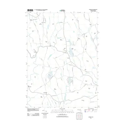
2012 Map of Goshen
USGS Topo · Published 2012About this map
Chesterfield and Goshen serve as the primary hubs in this highland landscape of Hampshire County. The villages are connected by a network of historic roads, including S Main St and S Chesterfield Rd, which follow the natural contours of the undulating terrain. To the west, the Westfield River and the N Br Swift River carve through the topography near settlements like West Chesterfield and Swift River, illustrating the historical importance of water power and valley corridors for local transit.
Find a feature on this map
128 named features on this map. Tap any name to fly to it.
Don’t see what you’re looking for? This feature index may not catch every label — zoom into the map to look around manually.
Map Details
Editions of this 2012 Goshen Map
This is the sole edition of this map. No revisions or reprints were ever made.
Other maps of this area

1885 · Northampton
USGS Topo · 1:62,500

1886 · Hawley
USGS Topo · 1:62,500

1886 · Chesterfield
USGS Topo · 1:62,500

1886 · Northampton
USGS Topo · 1:62,500

1888 · Chesterfield
USGS Topo · 1:62,500

1890 · Hawley
USGS Topo · 1:62,500

1890 · Greenfield
USGS Topo · 1:62,500

1891 · Northampton
USGS Topo · 1:62,500

1893 · Northampton
USGS Topo · 1:62,500

1893 · Chesterfield
USGS Topo · 1:62,500