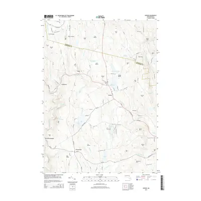
2015 Map of Goshen
USGS Topo · Published 2015About this map
Goshen and Chesterfield anchor this portion of the Hampshire Highlands, where the terrain is defined by a dense network of brooks and high ridges. The landscape is dotted with family-named landmarks such as Abbott Hill, Merritts Hill, and Burnell Hill, reflecting a deep history of local settlement and land use. Water features are central to the geography, including the Sears Meadow Reservoir, the Westfield River, and the Highland Lakes, which provide a contrast to the elevated peaks of Bear Mtn and Mt Rood.
Find a feature on this map
129 named features on this map. Tap any name to fly to it.
Don’t see what you’re looking for? This feature index may not catch every label — zoom into the map to look around manually.
Map Details
Editions of this 2015 Goshen Map
This is the sole edition of this map. No revisions or reprints were ever made.
Other maps of this area

1885 · Northampton
USGS Topo · 1:62,500

1886 · Hawley
USGS Topo · 1:62,500

1886 · Chesterfield
USGS Topo · 1:62,500

1886 · Northampton
USGS Topo · 1:62,500

1888 · Chesterfield
USGS Topo · 1:62,500

1890 · Hawley
USGS Topo · 1:62,500

1890 · Greenfield
USGS Topo · 1:62,500

1891 · Northampton
USGS Topo · 1:62,500

1893 · Northampton
USGS Topo · 1:62,500

1893 · Chesterfield
USGS Topo · 1:62,500