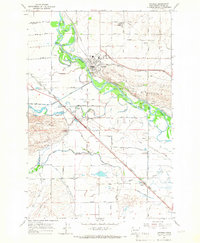
1965 Map of Granger
USGS Topo · Published 1967About this map
The Yakima River defines this mid-century landscape of the Yakima Valley, where irrigated agriculture and vital transportation corridors converge near the Indian Reservation boundary. The town of Granger serves as a focal point, supported by the dual lines of the Northern Pacific and Union Pacific railroads. The map reveals the sophisticated water management infrastructure of the era, including the Satus No 2 Pumping Station and numerous flumes and siphons that draw from the Yakima River to sustain the surrounding valley. Cultural landmarks like the Indian Shaker Ch and Satus Longhouse suggest a long-standing indigenous presence integrated with the development of settlements like Alfalfa and Liberty. Terrain features such as Snipes Mountain and Toppenish Ridge flank the fertile lowlands, which are also marked by local industry including a Gravel Pit and Claypit.
Find a feature on this map
45 named features on this map. Tap any name to fly to it.
Don’t see what you’re looking for? This feature index may not catch every label — zoom into the map to look around manually.
Map Details
Editions of this 1965 Granger Map
This is the sole edition of this map. No revisions or reprints were ever made.
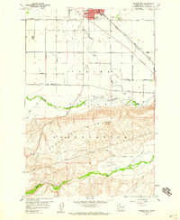
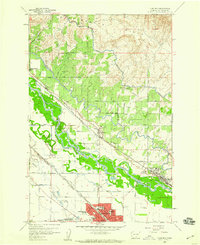
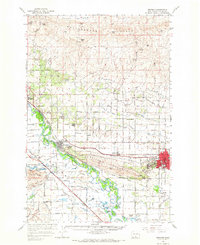
Other maps of this area

1910 · Zillah
USGS Topo · 1:125,000

1950 · Yakima
USGS Topo · 1:250,000
1958 · Hembre Mtn
USGS Topo · 1:24,000
1958 · Toppenish
USGS Topo · 1:24,000

1958 · Yakima
USGS Topo · 1:250,000

1961 · Yakima
USGS Topo · 1:250,000

1964 · Granger NE
USGS Topo · 1:24,000

1965 · Bluelight NW
USGS Topo · 1:24,000
1965 · Granger
USGS Topo · 1:62,500

1965 · Poisel Butte
USGS Topo · 1:62,500