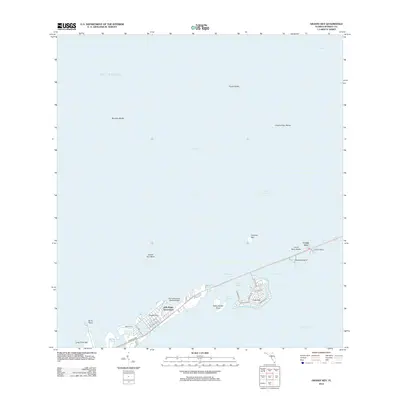
2012 Map of Grassy Key
USGS Topo · Published 2012About this map
Grassy Key and the surrounding Middle Keys islands are defined by the thread of the Overseas Hwy, which serves as the primary artery connecting these low-lying landforms between the Gulf of Mexico and Hawk Channel. This coastal survey documents the residential and recreational development characteristic of the early 21st century, from the street grids of Duck Key to the Jolly Roger Travel Park. Significant maritime features include the Flying Bonefish Seaplane Base and the complex tidal waterways of Toms Harbor Channel and Toms Harbor Cut.
Find a feature on this map
34 named features on this map. Tap any name to fly to it.
Don’t see what you’re looking for? This feature index may not catch every label — zoom into the map to look around manually.
Map Details
Editions of this 2012 Grassy Key Map
This is the sole edition of this map. No revisions or reprints were ever made.
Other maps of this area

1971 · Grassy Key
USGS Topo · 1:24,000

1971 · Marathon
USGS Topo · 1:24,000

1971 · Long Key
USGS Topo · 1:24,000

1971 · Crawl Key
USGS Topo · 1:24,000

1972 · Marathon
USGS Topo · 1:24,000

1972 · Bamboo Key
USGS Topo · 1:24,000

1972 · Schooner Bank
USGS Topo · 1:24,000

1972 · East Bahia Honda Key NE
USGS Topo · 1:24,000

1972 · Buchanan Keys
USGS Topo · 1:24,000

1983 · Islamorada
USGS Topo · 1:100,000