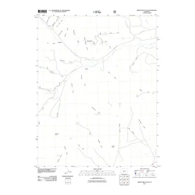
2011 Map of Graveyard Gulch
USGS Topo · Published 2011About this map
Parkville and the high-elevation drainages of Saguache County are captured here in a period of modern topographic recording. The landscape is defined by its mining legacy, with sites like the Pershing Mine and the E D Mine located near the northern boundary, while the Kerber Creek Bog Iron Deposit Mine suggests the specific geological interests of the region. Water remains the primary architect of the terrain, with names like Graveyard Gulch, Sawmill Gulch, and Schoolhouse Gulch hinting at the former industrial and social activity that once clustered along these seasonal flows.
Find a feature on this map
51 named features on this map. Tap any name to fly to it.
Don’t see what you’re looking for? This feature index may not catch every label — zoom into the map to look around manually.
Map Details
Editions of this 2011 Graveyard Gulch Map
This is the sole edition of this map. No revisions or reprints were ever made.
Other maps of this area

1954 · Pueblo
USGS Topo · 1:250,000

1956 · Montrose
USGS Topo · 1:250,000

1957 · Pueblo
USGS Topo · 1:250,000

1958 · Pueblo
USGS Topo · 1:250,000

1959 · Montrose
USGS Topo · 1:250,000

1959 · Bonanza
USGS Topo · 1:62,500

1959 · Howard
USGS Topo · 1:62,500

1960 · Montrose
USGS Topo · 1:250,000

1962 · Pueblo
USGS Topo · 1:250,000

1966 · Pueblo
USGS Topo · 1:250,000