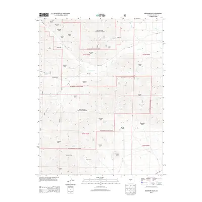
2013 Map of Graveyard Gulch
USGS Topo · Published 2013About this map
Parkville and the surrounding drainages of the Rio Grande National Forest occupy this high-elevation landscape in Saguache County. The map is defined by an intricate network of gulches and canyons, including Graveyard Gulch, Sawmill Gulch, and McIntyre Canyon, which feed into Kerber Cr and its tributaries. For genealogists and local historians, Whites Cem is a significant landmark situated near Little Kerber Cr.
Find a feature on this map
51 named features on this map. Tap any name to fly to it.
Don’t see what you’re looking for? This feature index may not catch every label — zoom into the map to look around manually.
Map Details
Editions of this 2013 Graveyard Gulch Map
This is the sole edition of this map. No revisions or reprints were ever made.
Other maps of this area

1954 · Pueblo
USGS Topo · 1:250,000

1956 · Montrose
USGS Topo · 1:250,000

1957 · Pueblo
USGS Topo · 1:250,000

1958 · Pueblo
USGS Topo · 1:250,000

1959 · Montrose
USGS Topo · 1:250,000

1959 · Bonanza
USGS Topo · 1:62,500

1959 · Howard
USGS Topo · 1:62,500

1960 · Montrose
USGS Topo · 1:250,000

1962 · Pueblo
USGS Topo · 1:250,000

1966 · Pueblo
USGS Topo · 1:250,000