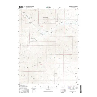
2016 Map of Graveyard Gulch
USGS Topo · Published 2016About this map
Parkville and the surrounding high-country drainages of the Rio Grande National Forest define this landscape of resource extraction and mountain geography. The map reveals a legacy of prospecting through numerous named drainages such as Manganese Gulch, Sawmill Gulch, and Drill Hole Gulch, pointing toward the region's mining history. Near the center, Whites Cem sits in Graveyard Gulch just south of Little Kerber Cr, providing a localized point of interest for genealogists tracing early families in Saguache County. The terrain rises sharply toward Saguache Peak and McIntyre Ridge in the southwest, while the eastern reaches include prominent landmarks like Copper Butte. A network of forest roads, including Co RD ll56 and Loop 5300, connects these remote gulches and springs, showing the modern accessibility of this traditional mining and timber territory.
Find a feature on this map
52 named features on this map. Tap any name to fly to it.
Don’t see what you’re looking for? This feature index may not catch every label — zoom into the map to look around manually.
Map Details
Editions of this 2016 Graveyard Gulch Map
This is the sole edition of this map. No revisions or reprints were ever made.
Other maps of this area

1954 · Pueblo
USGS Topo · 1:250,000

1956 · Montrose
USGS Topo · 1:250,000

1957 · Pueblo
USGS Topo · 1:250,000

1958 · Pueblo
USGS Topo · 1:250,000

1959 · Montrose
USGS Topo · 1:250,000

1959 · Bonanza
USGS Topo · 1:62,500

1959 · Howard
USGS Topo · 1:62,500

1960 · Montrose
USGS Topo · 1:250,000

1962 · Pueblo
USGS Topo · 1:250,000

1966 · Pueblo
USGS Topo · 1:250,000