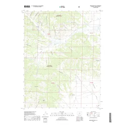
2019 Map of Graveyard Gulch
USGS Topo · Published 2019About this map
Rio Grande National Forest dominates the high-altitude landscape of this 2019 survey, where steep drainages and ridge lines define the terrain south of Parkville. The naming of the numerous gulches—including Schoolhouse Gulch, Sawmill Gulch, and Mine Gulch—points toward a history of local resource extraction and early mountain infrastructure. Central to the quadrangle is Whites Cem, a solitary burial site located near the confluence of Little Kerber Cr and the larger Kerber Cr drainage.
Find a feature on this map
56 named features on this map. Tap any name to fly to it.
Don’t see what you’re looking for? This feature index may not catch every label — zoom into the map to look around manually.
Map Details
Editions of this 2019 Graveyard Gulch Map
This is the sole edition of this map. No revisions or reprints were ever made.
Other maps of this area

1954 · Pueblo
USGS Topo · 1:250,000

1956 · Montrose
USGS Topo · 1:250,000

1957 · Pueblo
USGS Topo · 1:250,000

1958 · Pueblo
USGS Topo · 1:250,000

1959 · Montrose
USGS Topo · 1:250,000

1959 · Bonanza
USGS Topo · 1:62,500

1959 · Howard
USGS Topo · 1:62,500

1960 · Montrose
USGS Topo · 1:250,000

1962 · Pueblo
USGS Topo · 1:250,000

1966 · Pueblo
USGS Topo · 1:250,000