Loading...
Loading map...2023 Map of Grawn
USGS Topo · Published 2023About this map
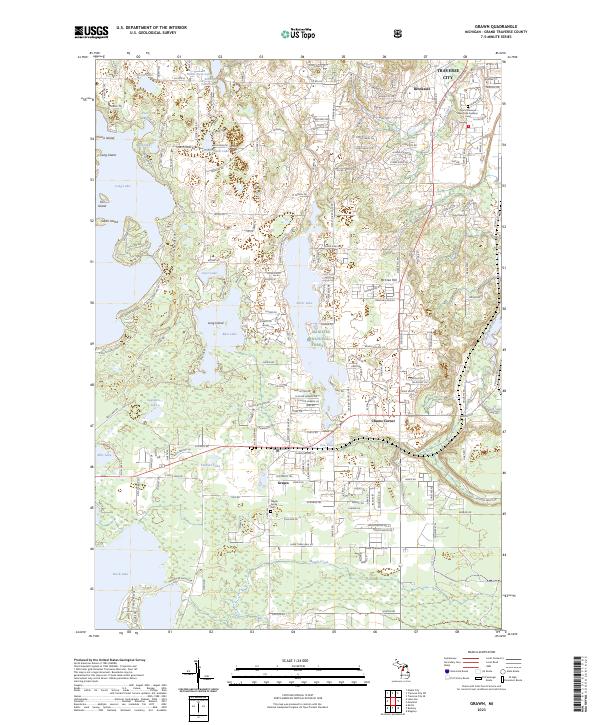
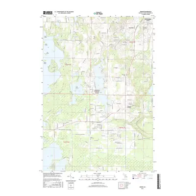
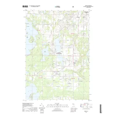
The southwest suburbs of Traverse City give way to a landscape defined by glacial lakes and the northern reaches of the Manistee National Forest. This modern survey reveals the suburban expansion near Chums Corner and the unincorporated community of Grawn, where the Blair Town Hall serves as a civic anchor. The geography is dominated by water bodies like Long Lake and Silver Lake, which are punctuated by named landforms such as Picnic Island and McCrea Hill.
Find a feature on this map
197 named features on this map. Tap any name to fly to it.
Don’t see what you’re looking for? This feature index may not catch every label — zoom into the map to look around manually.
Map Details
Date Portrayed2023
Date Published2023
PublisherU.S. Geological Survey
Map TypeTopographic
Scale1:24,000
Physical Dimensions24 x 29 inches
Editions of this 2023 Grawn Map
This is the sole edition of this map. No revisions or reprints were ever made.
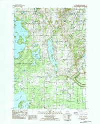
Historical Maps of Garfield Township Through Time
6 maps found
Featured Locations
- Blair Township, MI
- Garfield Township, MI
- Long Lake Township, MI
- Traverse City, MI
- Garfield Charter Township, Garfield Township
Source Details
SourceU.S. Geological Survey
CopyrightPublic Domain