
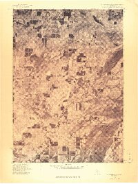
1976 Map of Thompsonville SE
USGS Topo · Published 1976About this map
Karlin serves as a primary settlement point in this 1976 orthophotoquad, which provides a high-altitude visual record of the land use in this part of Grand Traverse County. The winding course of the Betsie River cuts through the northwest portion of the landscape, revealing the complex drainage patterns and wetland areas that surround its banks. Unlike standard topographic maps, this aerial imagery emphasizes the contrast between the densely wooded areas and the structured grid of agricultural clearings. This perspective is particularly useful for observing how the land was being managed and subdivided in the mid-1970s, showing the specific layout of farms and woodlots that the standard line-and-symbol maps might simplify.
Find a feature on this map
2 named features on this map. Tap any name to fly to it.
Don’t see what you’re looking for? This feature index may not catch every label — zoom into the map to look around manually.
Map Details
Editions of this 1976 Thompsonville SE Map
This is the sole edition of this map. No revisions or reprints were ever made.
Other maps of this area

1954 · Traverse City
USGS Topo · 1:250,000

1956 · Kingsley
USGS Topo · 1:62,500

1956 · Mesick
USGS Topo · 1:62,500

1956 · Thompsonville
USGS Topo · 1:62,500

1957 · Copemish
USGS Topo · 1:62,500

1958 · Traverse City
USGS Topo · 1:250,000

1976 · Thompsonville NE
USGS Topo · 1:24,000
1976 · Thompsonville SW
USGS Topo · 1:24,000

1976 · Thompsonville NW
USGS Topo · 1:24,000

1983 · Cadillac
USGS Topo · 1:100,000
Featured Places
- Green Lake Township, MI
- Grant Township, MI
- Cleon Township, MI
- Pavlovic Corner, Grant Township
- Karlin, Grant Township