
1957 Map of Copemish
USGS Topo · Published 1958About this map
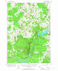
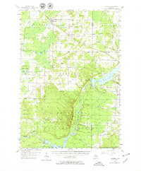
The Manistee River and its major hydraulic developments define this mid-century landscape at the border of Manistee and Wexford counties. At the heart of the area, Hodenpyle Dam creates the expansive Hodenpyle Backwater, while the southern reaches show the Tippy Backwater pooled behind Tippy Dam. These massive reservoirs signify the industrial transformation of the river valley, which remained heavily wooded within the Manistee National Forest and Fife Lake State Forest.
Find a feature on this map
67 named features on this map. Tap any name to fly to it.
Don’t see what you’re looking for? This feature index may not catch every label — zoom into the map to look around manually.
Map Details
Editions of this 1957 Copemish Map
3 editions found
Other maps of this area

1933 · Peacock NE
USGS Topo · 1:31,680

1933 · Luther NW
USGS Topo · 1:31,680

1933 · Peacock NW
USGS Topo · 1:31,680

1954 · Traverse City
USGS Topo · 1:250,000

1954 · Manitowoc
USGS Topo · 1:250,000

1956 · Onekama
USGS Topo · 1:62,500

1956 · Kingsley
USGS Topo · 1:62,500

1956 · Mesick
USGS Topo · 1:62,500

1956 · Thompsonville
USGS Topo · 1:62,500

1956 · Frankfort
USGS Topo · 1:62,500