
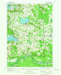
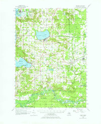
1956 Map of Onekama
USGS Topo · Published 1958About this map
Bear Lake and the coastal expanse of Portage Lake anchor this mid-century look at Manistee County. The landscape is a study in northern Michigan transition, where the Fife Lake State Forest and agricultural clearing meet the shoreline of Lake Michigan. The era's transportation network is dominated by the Chesapeake and Ohio Railroad, which serves settlements like Onekama, Kaleva, and Onekama Junction. Significant genealogical interest is found in the scattering of country schools and rural cemeteries, such as Pilgrim Home Cem and Browntown Cem. The map identifies several schoolhouses as no longer active, including Myers Sch and Kilborn Sch, reflecting a post-war consolidation of rural education. Unique landmarks like the Indian Village and Indian Mound near the Manistee River offer a glimpse into the documented cultural history of the region.
Find a feature on this map
97 named features on this map. Tap any name to fly to it.
Don’t see what you’re looking for? This feature index may not catch every label — zoom into the map to look around manually.
Map Details
Editions of this 1956 Onekama Map
3 editions found
Other maps of this area

1933 · Peacock NW
USGS Topo · 1:31,680

1954 · Traverse City
USGS Topo · 1:250,000

1954 · Manitowoc
USGS Topo · 1:250,000

1956 · Bar Lake
USGS Topo · 1:62,500

1956 · Thompsonville
USGS Topo · 1:62,500

1956 · Frankfort
USGS Topo · 1:62,500

1957 · Freesoil
USGS Topo · 1:62,500

1957 · Copemish
USGS Topo · 1:62,500

1957 · Wellston
USGS Topo · 1:62,500

1958 · Traverse City
USGS Topo · 1:250,000