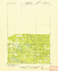
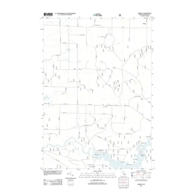
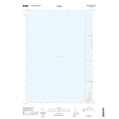
1933 Map of Peacock NW
USGS Topo · Published 1933About this map
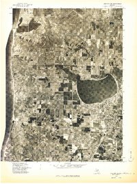
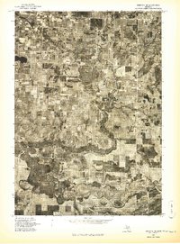
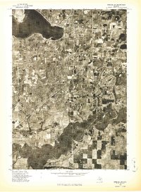
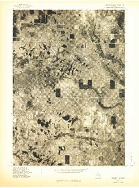
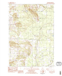
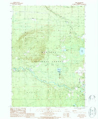
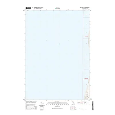
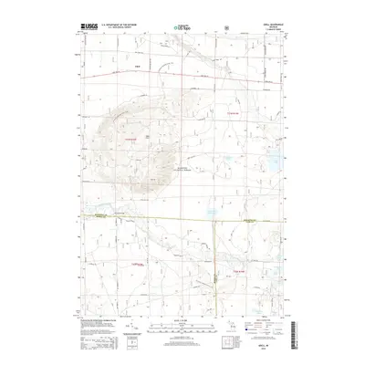
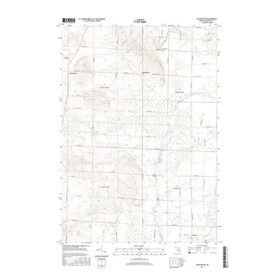
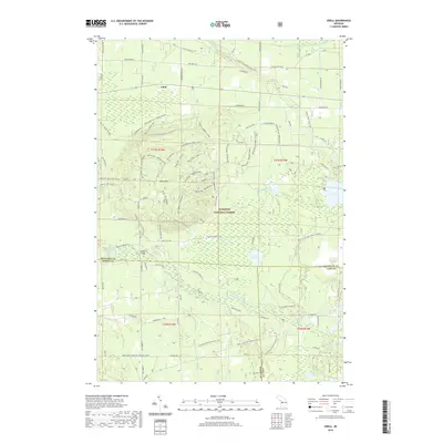
The Pere Marquette railroad cuts a diagonal line through the sandy northern Michigan landscape, connecting the small settlements of Dublin and Irons. This 1930s-era survey reveals a region defined by its complex hydrology, where numerous small water bodies like Sucker Ponds, Silver Bass Lake, and Elbow Lake dot the terrain north of the winding Little Manistee River. The map highlights the localized infrastructure of the time, including the Fairbanks Sch and the Irons Cem, alongside industrial features like a Gravel Pit near the southern border. The transition between Manistee Co and Lake Co is clearly delineated, showing how section lines and early roads integrated with the natural drainages of Stronech Creek and Pickerel Cr.
Find a feature on this map
26 named features on this map. Tap any name to fly to it.
Don’t see what you’re looking for? This feature index may not catch every label — zoom into the map to look around manually.
Map Details
Editions of this 1933 Peacock NW Map
This is the sole edition of this map. No revisions or reprints were ever made.
Historical Maps of Wellston Through Time
43 maps found
1933 Peacock NW
Manistee County, MI
1956 Bar Lake
Manistee County, MI
1976 Bar Lake SE
Manistee County, MI
1976 Onekama NE
Manistee County, MI
1976 Onekama NW
Manistee County, MI
1976 Onekama SE
Manistee County, MI
1976 Onekama SW
Manistee County, MI
1976 Wellston NW
Manistee County, MI
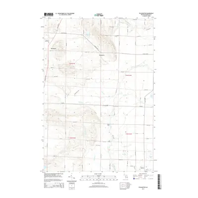
1982 Pleasanton
Manistee County, MI
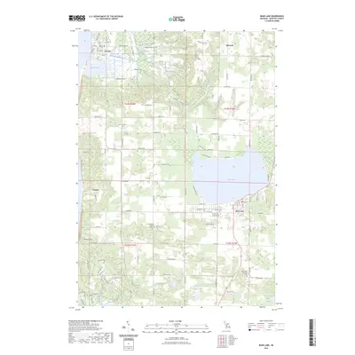
1983 Bear Lake
Manistee County, MI
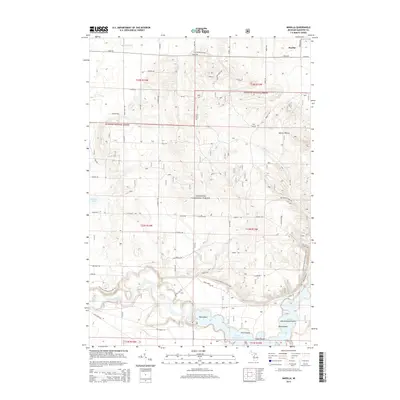
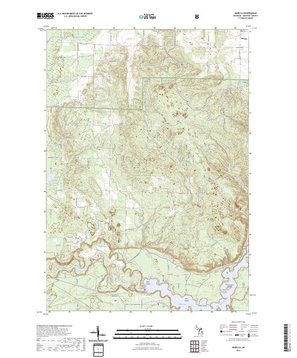
1987 Marilla
Manistee County, MI
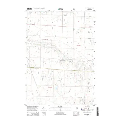
1987 Star Corners
Manistee County, MI
1987 Udell
Manistee County, MI
2011 Bear Lake
Manistee County, MI
2011 Bear Lake OE W
Manistee County, MI
2011 Pleasanton
Manistee County, MI
2012 Marilla
Manistee County, MI
2012 Star Corners
Manistee County, MI
2012 Udell
Manistee County, MI
2014 Bear Lake
Manistee County, MI
2014 Bear Lake OE W
Manistee County, MI
2014 Marilla
Manistee County, MI
2014 Pleasanton
Manistee County, MI
2014 Star Corners
Manistee County, MI
2014 Udell
Manistee County, MI
2017 Bear Lake
Manistee County, MI
2017 Bear Lake OE W
Manistee County, MI
2017 Marilla
Manistee County, MI
2017 Pleasanton
Manistee County, MI
2017 Star Corners
Manistee County, MI
2017 Udell
Manistee County, MI
2019 Bear Lake
Manistee County, MI
2019 Bear Lake OE W
Manistee County, MI
2019 Marilla
Manistee County, MI
2019 Pleasanton
Manistee County, MI
2019 Star Corners
Manistee County, MI
2019 Udell
Manistee County, MI
2023 Bear Lake
Manistee County, MI
2023 Bear Lake OE W
Manistee County, MI
2023 Marilla
Manistee County, MI
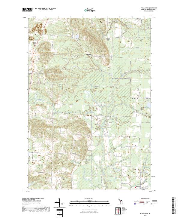
2023 Pleasanton
Manistee County, MI
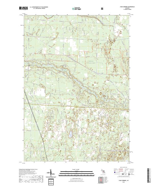
2023 Star Corners
Manistee County, MI
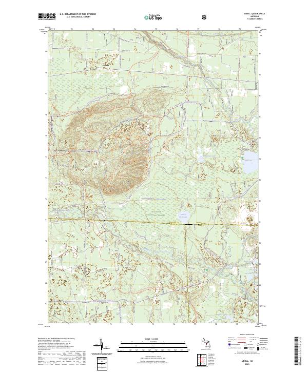
2023 Udell
Manistee County, MI