
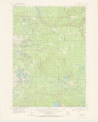
1957 Map of Wellston
USGS Topo · Published 1958About this map
Manistee National Forest dominates the landscape of this 1957 survey, where a complex network of glacial lakes and river systems defines the regional character. The Pine River and Little Manistee River carve through the terrain, with industrial legacies appearing at Stronach Dam and a sawmill located near the small settlements of Wellston and Dublin. The map documents the remnants of local transportation and industry, specifically noting the Old Grade Railroad that once serviced the timber and peat resources of areas like Wildcat Swamp. Small community focal points such as Honeyville Sch, Irons Lookout Tower, and Choker Cem provide essential data for genealogists tracing family ties to the Peacock and Irons vicinities before mid-century forest management consolidated much of the land.
Find a feature on this map
76 named features on this map. Tap any name to fly to it.
Don’t see what you’re looking for? This feature index may not catch every label — zoom into the map to look around manually.
Map Details
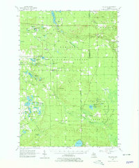
Editions of this 1957 Wellston Map
3 editions found
Other maps of this area

1931 · Baldwin NW
USGS Topo · 1:31,680

1931 · Custer NE
USGS Topo · 1:31,680

1931 · Baldwin NE
USGS Topo · 1:31,680

1932 · Freesoil SE
USGS Topo · 1:31,680

1932 · Chase NW
USGS Topo · 1:31,680

1933 · Peacock SE
USGS Topo · 1:31,680

1933 · Peacock SW
USGS Topo · 1:31,680

1933 · Peacock NE
USGS Topo · 1:31,680

1933 · Luther SW
USGS Topo · 1:31,680

1933 · Luther NW
USGS Topo · 1:31,680