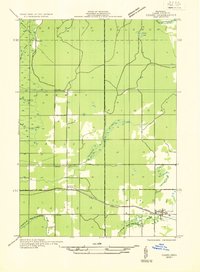
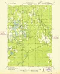
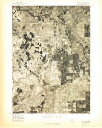
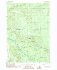
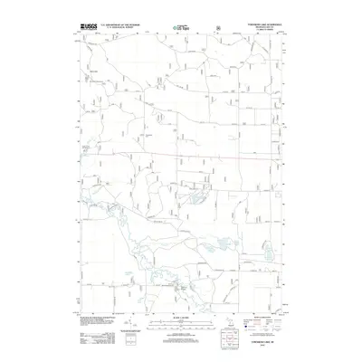
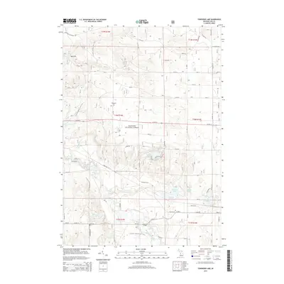
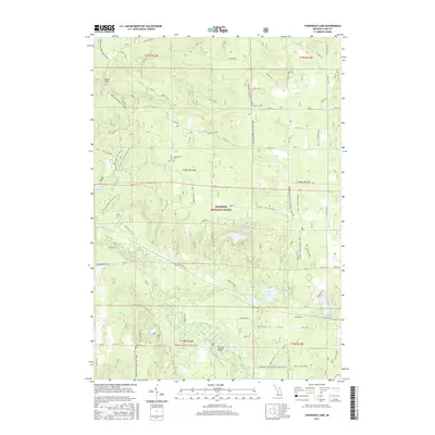
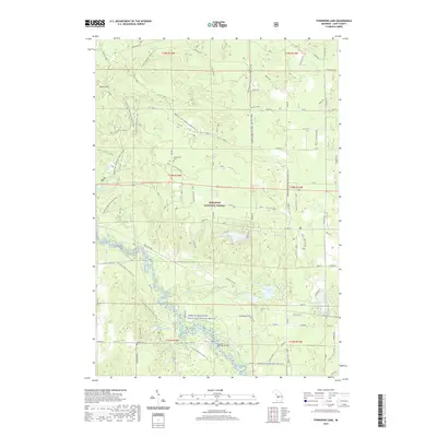
1932 Map of Chase NW
USGS Topo · Published 1932About this map
Settlements like Chase and Nirvana anchor the southern portion of this Lake County landscape, where the Pere Marquette railroad runs parallel to U S Highway No 10. The area is characterized by a dense network of watercourses, including the Baldwin River in the northwest and the Middle Br Pere Marquette River flowing through the south.
Find a feature on this map
18 named features on this map. Tap any name to fly to it.
Don’t see what you’re looking for? This feature index may not catch every label — zoom into the map to look around manually.
Map Details
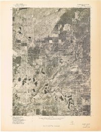
Editions of this 1932 Chase NW Map
This is the sole edition of this map. No revisions or reprints were ever made.
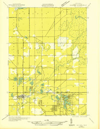
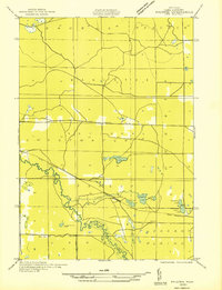
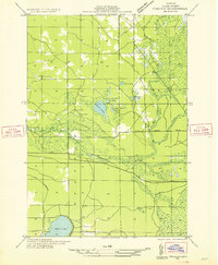
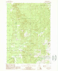
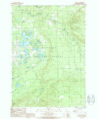
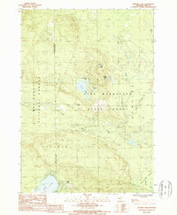
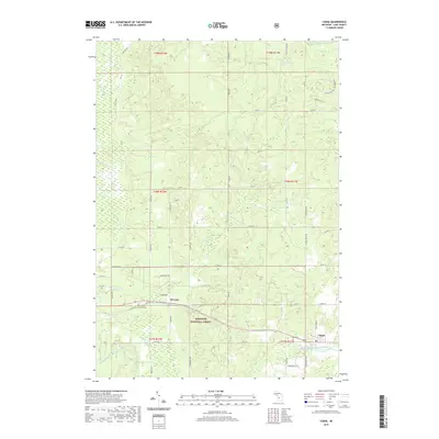
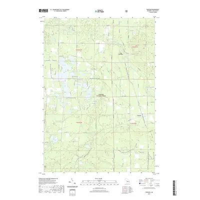
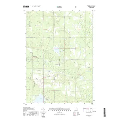
Historical Maps of Chase Through Time
34 maps found
1931 Baldwin NE
Lake County, MI
1931 Baldwin NW
Lake County, MI
1932 Chase NW
Lake County, MI

1933 Luther SW
Lake County, MI
1933 Peacock SE
Lake County, MI
1933 Peacock SW
Lake County, MI
1976 Baldwin NE
Lake County, MI
1976 Baldwin NW
Lake County, MI
1976 Wellston SE
Lake County, MI
1976 Wellston SW
Lake County, MI
1987 Chase
Lake County, MI
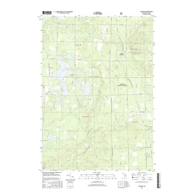
1987 Peacock
Lake County, MI
1987 Stewart Lake
Lake County, MI
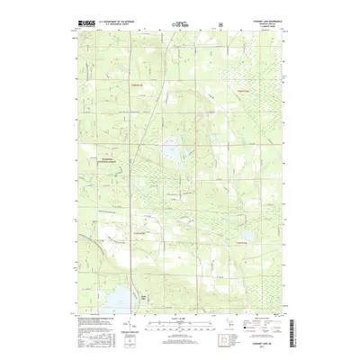
1987 Townsend Lake
Lake County, MI
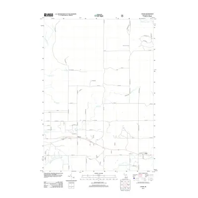
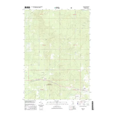
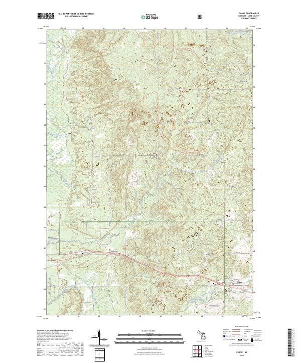
2012 Chase
Lake County, MI
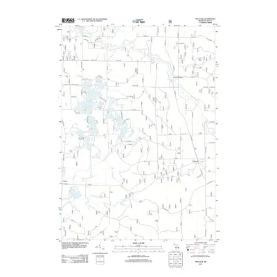
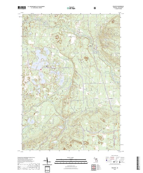
2012 Peacock
Lake County, MI
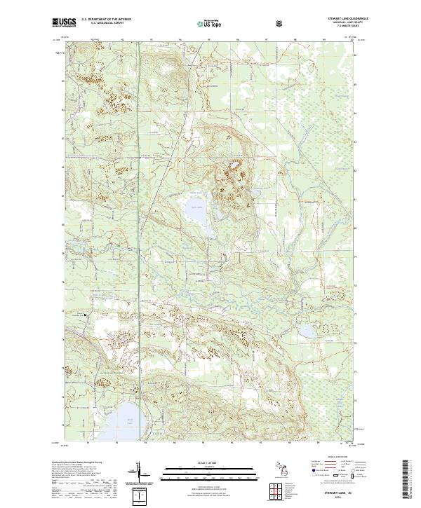
2012 Stewart Lake
Lake County, MI
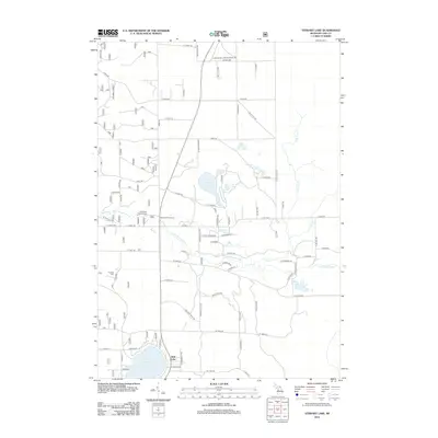
2012 Townsend Lake
Lake County, MI
2014 Chase
Lake County, MI
2014 Peacock
Lake County, MI
2014 Stewart Lake
Lake County, MI
2014 Townsend Lake
Lake County, MI
2017 Chase
Lake County, MI
2017 Peacock
Lake County, MI
2017 Stewart Lake
Lake County, MI
2017 Townsend Lake
Lake County, MI
2019 Chase
Lake County, MI
2019 Peacock
Lake County, MI
2019 Stewart Lake
Lake County, MI
2019 Townsend Lake
Lake County, MI
2023 Chase
Lake County, MI
2023 Peacock
Lake County, MI
2023 Stewart Lake
Lake County, MI
2023 Townsend Lake
Lake County, MI
Featured Locations
- Yates Township, MI
- Chase Township, MI
- Cherry Valley Township, MI
- Ellsworth Township, MI
- Chase, Chase Township