
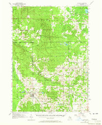
1957 Map of Luther
USGS Topo · Published 1958About this map
The village of Luther serves as the primary hub of this mid-century landscape, positioned at the edge of the Pere Marquette State Forest. The map documents a sparsely settled region defined by its timber and water resources, where small communities like Hoxeyville, Bristol, and Skookum are connected by a web of rural roads. The northern portion is heavily dominated by the Manistee National Forest, with significant terrain markers such as Clay Hill and the Kellogg Lookout Tower overlooking the valleys of the Pine River and Silver Creek.
Find a feature on this map
48 named features on this map. Tap any name to fly to it.
Don’t see what you’re looking for? This feature index may not catch every label — zoom into the map to look around manually.
Map Details
Editions of this 1957 Luther Map
4 editions found
Other maps of this area

1931 · Chase NE
USGS Topo · 1:31,680

1931 · Baldwin NE
USGS Topo · 1:31,680

1932 · Chase NW
USGS Topo · 1:31,680

1933 · Peacock SE
USGS Topo · 1:31,680

1933 · Luther SE
USGS Topo · 1:31,680

1933 · Peacock NE
USGS Topo · 1:31,680

1933 · Luther SW
USGS Topo · 1:31,680

1933 · Luther NW
USGS Topo · 1:31,680

1954 · Traverse City
USGS Topo · 1:250,000

1954 · Midland
USGS Topo · 1:250,000