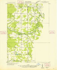
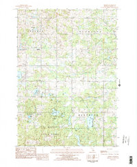
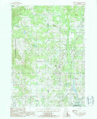
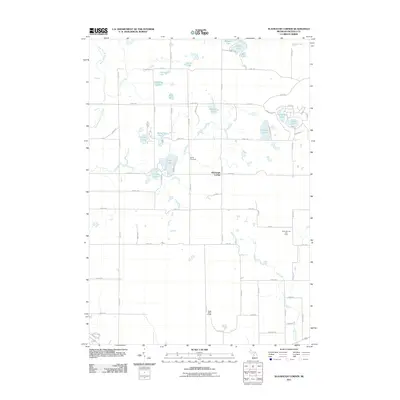
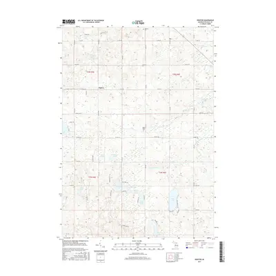
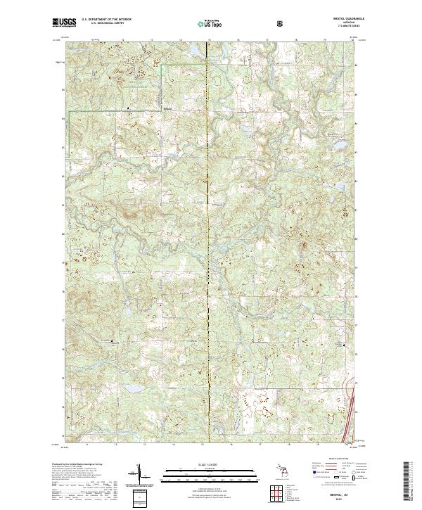
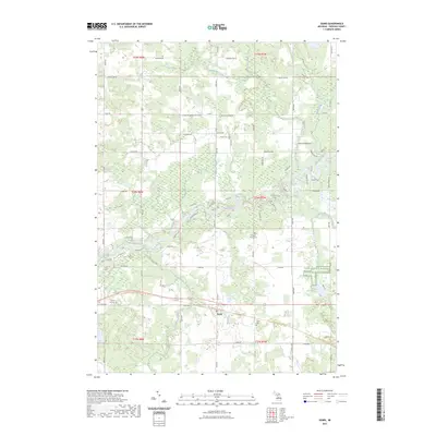
1933 Map of Luther SE
USGS Topo · Published 1933About this map
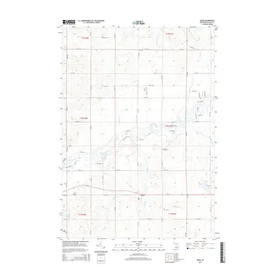
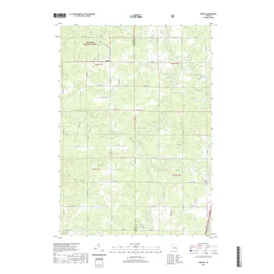
The Pine River and Little Pine River dominate this 1930s landscape, winding through the timberlands of Dover and Burdell townships. The map, compiled from early aerial photography by the Air Corps, reveals a rural network of country schools including Wedell Sch, Burdell Dist Sch No 4, and Keats Sch, serving the scattered farmsteads of the era. The small settlement of Bristol sits near the Dover Cem, while the southern portion of the quadrangle is defined by Howes Lake and the track of State Highway No 63. Small water bodies like Asplunds Lake and Bulls Pond dot the terrain, which is fed by numerous tributaries such as Dyers Creek and Coe Creek. This survey captures the region just as modern automotive routes began to stabilize the local geography.
Find a feature on this map
19 named features on this map. Tap any name to fly to it.
Don’t see what you’re looking for? This feature index may not catch every label — zoom into the map to look around manually.
Map Details
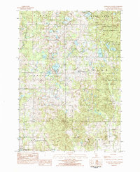
Editions of this 1933 Luther SE Map
This is the sole edition of this map. No revisions or reprints were ever made.
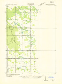
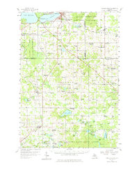
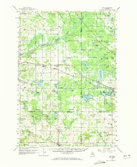
Historical Maps of Bristol Through Time
34 maps found
1931 Chase NE
Osceola County, MI
1933 Luther SE
Osceola County, MI
1957 Cadillac South
Osceola County, MI
1959 Lake
Osceola County, MI
1983 Dighton
Osceola County, MI
1983 Slaybaugh Corner
Osceola County, MI
1984 Sears
Osceola County, MI
1987 Bristol
Osceola County, MI
1987 Reed City North
Osceola County, MI
2011 Dighton
Osceola County, MI
2011 Reed City North
Osceola County, MI
2011 Sears
Osceola County, MI
2011 Slaybaugh Corner
Osceola County, MI
2012 Bristol
Osceola County, MI
2014 Bristol
Osceola County, MI
2014 Dighton
Osceola County, MI
2014 Reed City North
Osceola County, MI
2014 Sears
Osceola County, MI
2014 Slaybaugh Corner
Osceola County, MI
2017 Bristol
Osceola County, MI
2017 Dighton
Osceola County, MI
2017 Reed City North
Osceola County, MI
2017 Sears
Osceola County, MI
2017 Slaybaugh Corner
Osceola County, MI
2019 Bristol
Osceola County, MI
2019 Dighton
Osceola County, MI
2019 Reed City North
Osceola County, MI
2019 Sears
Osceola County, MI
2019 Slaybaugh Corner
Osceola County, MI
2023 Bristol
Osceola County, MI
2023 Dighton
Osceola County, MI
2023 Reed City North
Osceola County, MI
2023 Sears
Osceola County, MI
2023 Slaybaugh Corner
Osceola County, MI
Featured Locations
- Dover Township, MI
- Ellsworth Township, MI
- Leroy Township, MI
- Bristol, Dover Township
- Edgetts, Ellsworth Township