
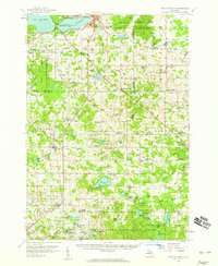
1957 Map of Cadillac South
USGS Topo · Published 1958About this map
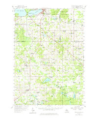
William Mitchell State Park anchors the northwestern corner of this landscape, separating the waters of Lake Mitchell and Cadillac Lake. In the late 1950s, this region of Michigan was characterized by a dense network of country schools and rural cemeteries, many of which are marked as abandoned on this sheet. The legacy of early 20th-century settlement is visible in the placement of the Pennsylvania and Ann Arbor railroads, which facilitated movement through the heavy timberlands of the Fife Lake State Forest and Houghton Lake State Forest. Local industry is evidenced by the Mineral Springs Oil Field and numerous gravel pits near Tustin and Le Roy. The presence of several defunct institutions, such as the Sherman Sch and Rose Lake Sch, indicates a shifting demographic pattern as small agricultural communities and rural school districts consolidated or faded during the mid-century era.
Find a feature on this map
122 named features on this map. Tap any name to fly to it.
Don’t see what you’re looking for? This feature index may not catch every label — zoom into the map to look around manually.
Map Details
Editions of this 1957 Cadillac South Map
3 editions found
Other maps of this area

1931 · Chase NE
USGS Topo · 1:31,680

1933 · Luther SE
USGS Topo · 1:31,680

1954 · Traverse City
USGS Topo · 1:250,000

1954 · Midland
USGS Topo · 1:250,000

1956 · Mesick
USGS Topo · 1:62,500

1956 · Cadillac North
USGS Topo · 1:62,500

1956 · Lake City
USGS Topo · 1:62,500

1957 · Luther
USGS Topo · 1:62,500

1957 · Marion
USGS Topo · 1:62,500

1958 · Traverse City
USGS Topo · 1:250,000