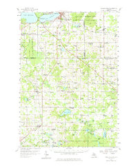
1957 Map of Cadillac South
USGS Topo · Published 1976About this map
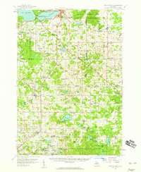
The south side of Cadillac serves as the gateway to this central Michigan landscape, where recreation and agriculture meet in the late 1950s. Lake Cadillac and Lake Mitchell anchor the north, with William Mitchell State Park separating the two basins. To the south, the terrain transitions into a patchwork of rural townships like Burdell and Sherman, where dozens of country schools once served local farm families. The map records several education sites already in transition, including the Sherman Sch and the Nash Sch.
Find a feature on this map
122 named features on this map. Tap any name to fly to it.
Don’t see what you’re looking for? This feature index may not catch every label — zoom into the map to look around manually.
Map Details
Editions of this 1957 Cadillac South Map
3 editions found
Other maps of this area

1931 · Chase NE
USGS Topo · 1:31,680

1933 · Luther SE
USGS Topo · 1:31,680

1954 · Traverse City
USGS Topo · 1:250,000

1954 · Midland
USGS Topo · 1:250,000

1956 · Mesick
USGS Topo · 1:62,500

1956 · Cadillac North
USGS Topo · 1:62,500

1956 · Lake City
USGS Topo · 1:62,500

1957 · Cadillac South
USGS Topo · 1:62,500

1957 · Luther
USGS Topo · 1:62,500

1957 · Marion
USGS Topo · 1:62,500