
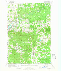
1956 Map of Mesick
USGS Topo · Published 1958About this map
The Manistee River winds through the heart of this mid-century landscape, a region defined by its timber heritage and the dual presence of the Manistee National Forest and Fife Lake State Forest. Settlement patterns follow the arc of the Ann Arbor RR, connecting towns like Mesick, Harrietta, and Boon. The map reveals a transition in rural education, marking several facilities such as Cornell Sch and Selma Center Sch as abandoned, reflecting the consolidation of local districts during the 1950s.
Find a feature on this map
78 named features on this map. Tap any name to fly to it.
Don’t see what you’re looking for? This feature index may not catch every label — zoom into the map to look around manually.
Map Details
Editions of this 1956 Mesick Map
3 editions found
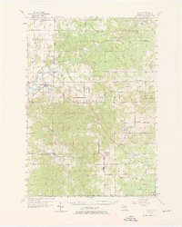
Other maps of this area

1933 · Peacock NE
USGS Topo · 1:31,680

1933 · Luther NW
USGS Topo · 1:31,680

1954 · Traverse City
USGS Topo · 1:250,000

1956 · Fife Lake
USGS Topo · 1:62,500

1956 · Kingsley
USGS Topo · 1:62,500

1956 · Thompsonville
USGS Topo · 1:62,500

1956 · Cadillac North
USGS Topo · 1:62,500

1957 · Cadillac South
USGS Topo · 1:62,500

1957 · Copemish
USGS Topo · 1:62,500

1957 · Luther
USGS Topo · 1:62,500