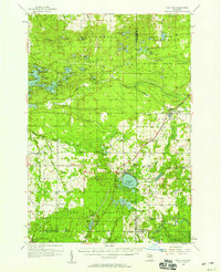
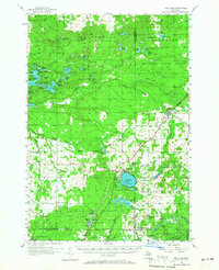
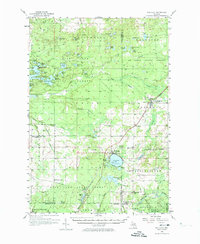
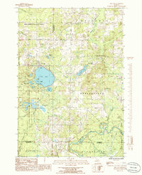
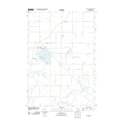
1956 Map of Fife Lake
USGS Topo · Published 1958About this map
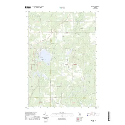
The village of Fife Lake serves as a central hub in this mid-century survey of the northern Michigan landscape, where the Boardman River and its various branches create a complex network of waterways. The area is defined by the intersection of the Pennsylvania railroad and several state forests, including the Fife Lake State Forest and Au Sable State Forest. This period shows a rural community supported by local institutions, evidenced by the numerous country schoolhouses like Weaver Sch and Cedar Creek Sch, and the local Town Hall Cem. To the southwest, Walton Junction marks a significant rail point where lines converge near the Wexford Co border. The map also documents the transition of the landscape, noting where the North Paradise Sch and Stampfler Sch have already fallen out of use as rural populations shifted.
Find a feature on this map
85 named features on this map. Tap any name to fly to it.
Don’t see what you’re looking for? This feature index may not catch every label — zoom into the map to look around manually.
Map Details
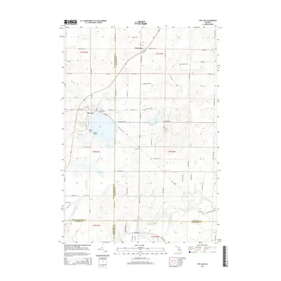
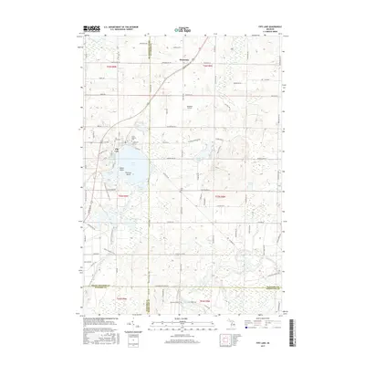
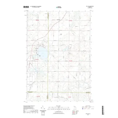
Editions of this 1956 Fife Lake Map
Historical Maps of East Bay Township Through Time
7 maps found
Featured Locations
- Acme Township, MI
- East Bay Township, MI
- Fife Lake Township, MI
- Paradise Township, MI
- Whitewater Township, MI