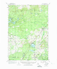
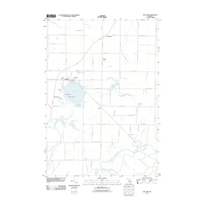
1956 Map of Fife Lake
USGS Topo · Published 1974About this map
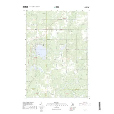
Fife Lake and the surrounding woodlands of the Fife Lake State Forest define this mid-century landscape at the intersection of several northern Michigan counties. The Pennsylvania Railroad provides the primary industrial spine of the region, running through the rail hub at Walton Junction and continuing north through South Boardman. The area is characterized by a dense concentration of glacial lakes, including Spider Lake, Arbutus Lake, and the Sand Lakes, which historically supported both local timber operations and early recreation. Educational and civic history is preserved through scattered landmarks like the North Paradise Sch and the Fife Lake Lookout Tower. The settlement pattern follows the rail and river corridors, with small communities like Walton and Vanderwoight established near water sources like the Boardman River and its various tributaries.
Find a feature on this map
89 named features on this map. Tap any name to fly to it.
Don’t see what you’re looking for? This feature index may not catch every label — zoom into the map to look around manually.
Map Details
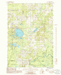
Editions of this 1956 Fife Lake Map
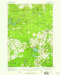
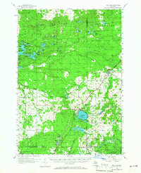
Historical Maps of East Bay Township Through Time
7 maps found
Featured Locations
- Acme Township, MI
- East Bay Township, MI
- Fife Lake Township, MI
- Paradise Township, MI
- Whitewater Township, MI