
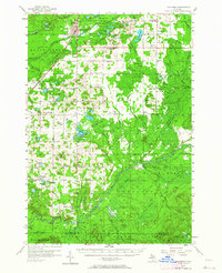
1956 Map of Kalkaska
USGS Topo · Published 1957About this map
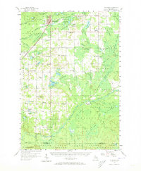
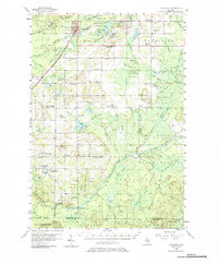
Kalkaska serves as the hub of this 1950s survey, situated where the Pennsylvania Railroad cuts across a landscape dominated by the Au Sable State Forest. The map documents a rural network of small settlements like Smithville, Lodi, and Sigma, alongside numerous isolated schools such as Perrin Sch and the Maplegrove Sch (Abandoned). These institutions, along with country churches like Excelsior Ch, provide critical points of reference for genealogists tracing mid-century family locations.
Find a feature on this map
107 named features on this map. Tap any name to fly to it.
Don’t see what you’re looking for? This feature index may not catch every label — zoom into the map to look around manually.
Map Details
Editions of this 1956 Kalkaska Map
4 editions found
Other maps of this area

1949 · Black Creek
USGS Topo · 1:24,000

1949 · Fletcher
USGS Topo · 1:62,500

1950 · Fletcher
USGS Topo · 1:24,000

1954 · Traverse City
USGS Topo · 1:250,000

1956 · Alba
USGS Topo · 1:62,500

1956 · Mancelona
USGS Topo · 1:62,500

1956 · Fife Lake
USGS Topo · 1:62,500

1956 · Houghton Lake
USGS Topo · 1:62,500

1956 · Cadillac North
USGS Topo · 1:62,500

1956 · Lake City
USGS Topo · 1:62,500