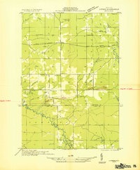
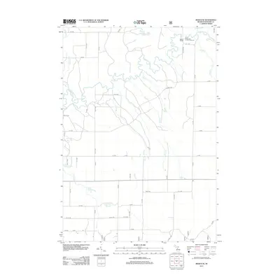
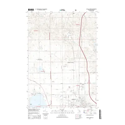
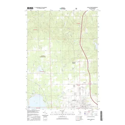
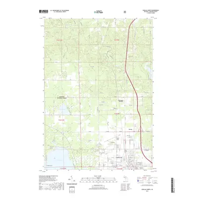
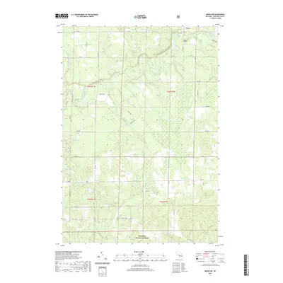
1933 Map of Luther NW
USGS Topo · Published 1933About this map
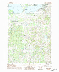
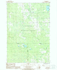
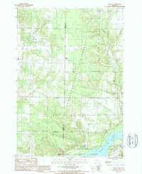
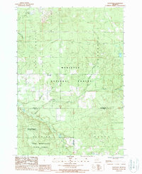
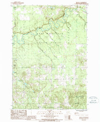
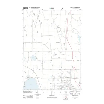
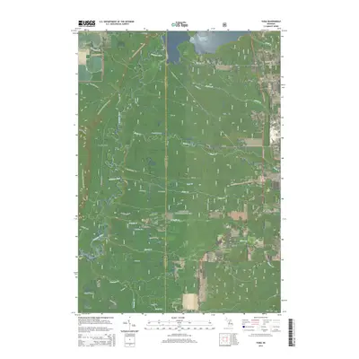
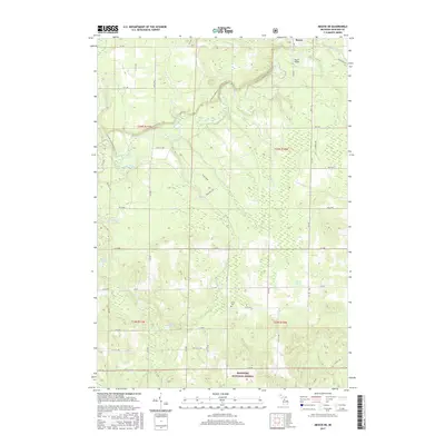
The Pine River meanders through the southern half of this 1933 survey, marking the transition between the agricultural clearings and the timbered landscapes of Wexford and Lake Counties. In the north, State Highway No 55 cuts a straight path through the township, serving as the primary corridor for the small settlements of Harrietta and Rosselles Corner. The map reveals a community defined by its local institutions, including the Banker Sch and Clay Hill Ch, situated near the crossroads of Hoxeyville. This era represents a period of resource extraction and infrastructure development, evidenced by the numerous Gravel Pits and the large Transmission Line spanning the northern sections. The presence of both Poplar Creek and Popel Creek labels suggests a period of nomenclature refinement by the Geological Survey Division.
Find a feature on this map
18 named features on this map. Tap any name to fly to it.
Don’t see what you’re looking for? This feature index may not catch every label — zoom into the map to look around manually.
Map Details
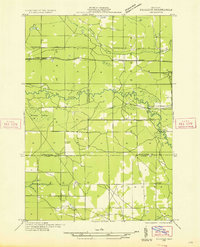
Editions of this 1933 Luther NW Map
This is the sole edition of this map. No revisions or reprints were ever made.
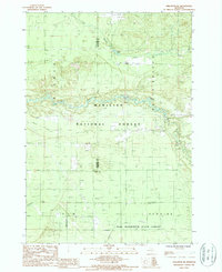
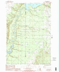
Historical Maps of Henderson Township Through Time
52 maps found
1933 Luther NW
Wexford County, MI
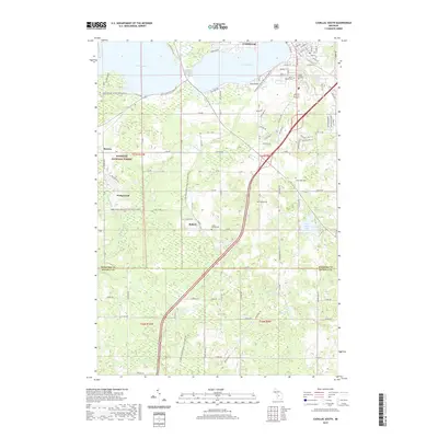
1933 Peacock NE
Wexford County, MI

1956 Cadillac North
Wexford County, MI
1976 Wellston NE
Wexford County, MI
1983 Cadillac North
Wexford County, MI
1983 Cadillac South
Wexford County, MI
1987 Axin
Wexford County, MI
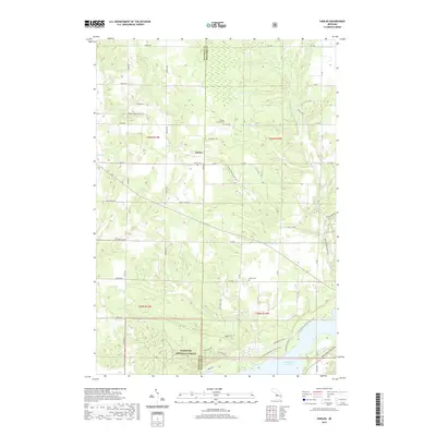
1987 Harlan
Wexford County, MI
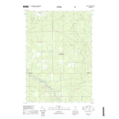
1987 Hoxeyville
Wexford County, MI
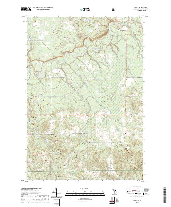
1987 Mesick NE
Wexford County, MI
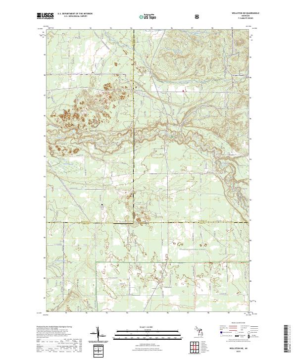
1987 Wellston NE
Wexford County, MI
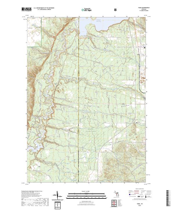
1987 Yuma
Wexford County, MI
2012 Axin
Wexford County, MI
2012 Cadillac North
Wexford County, MI
2012 Cadillac South
Wexford County, MI
2012 Harlan
Wexford County, MI
2012 Hoxeyville
Wexford County, MI
2012 Mesick NE
Wexford County, MI
2012 Wellston NE
Wexford County, MI
2012 Yuma
Wexford County, MI
2014 Axin
Wexford County, MI
2014 Cadillac North
Wexford County, MI
2014 Cadillac South
Wexford County, MI
2014 Harlan
Wexford County, MI
2014 Hoxeyville
Wexford County, MI
2014 Mesick NE
Wexford County, MI
2014 Wellston NE
Wexford County, MI
2014 Yuma
Wexford County, MI
2017 Axin
Wexford County, MI
2017 Cadillac North
Wexford County, MI
2017 Cadillac South
Wexford County, MI
2017 Harlan
Wexford County, MI
2017 Hoxeyville
Wexford County, MI
2017 Mesick NE
Wexford County, MI
2017 Wellston NE
Wexford County, MI
2017 Yuma
Wexford County, MI
2019 Axin
Wexford County, MI
2019 Cadillac North
Wexford County, MI
2019 Cadillac South
Wexford County, MI
2019 Harlan
Wexford County, MI
2019 Hoxeyville
Wexford County, MI
2019 Mesick NE
Wexford County, MI
2019 Wellston NE
Wexford County, MI
2019 Yuma
Wexford County, MI
2023 Axin
Wexford County, MI
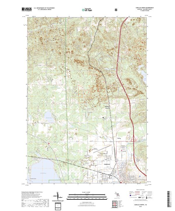
2023 Cadillac North
Wexford County, MI
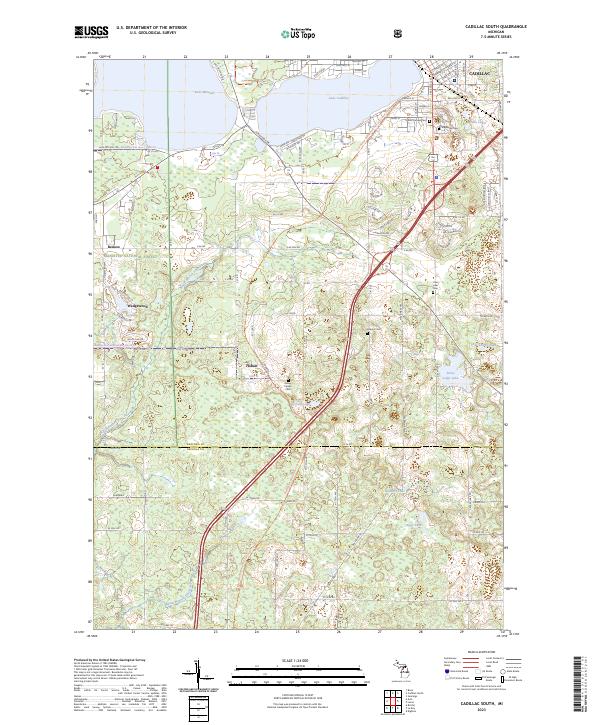
2023 Cadillac South
Wexford County, MI
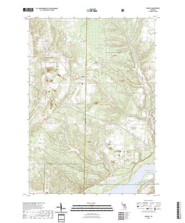
2023 Harlan
Wexford County, MI
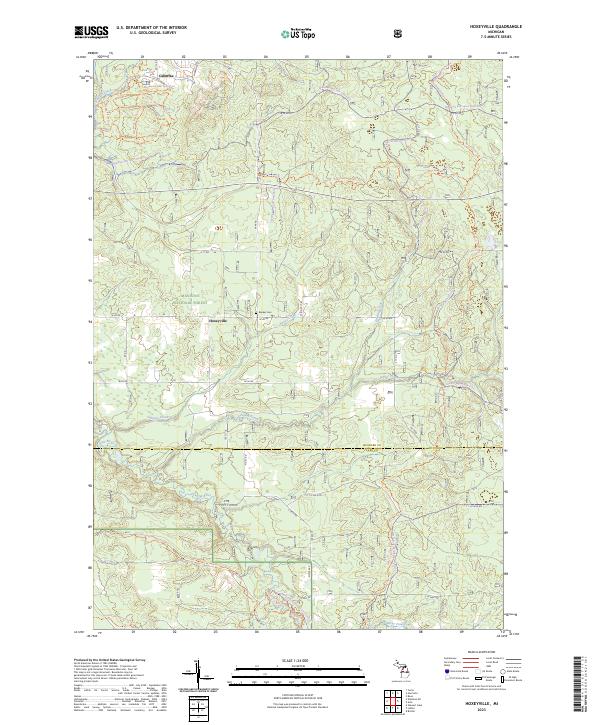
2023 Hoxeyville
Wexford County, MI
2023 Mesick NE
Wexford County, MI
2023 Wellston NE
Wexford County, MI
2023 Yuma
Wexford County, MI
Featured Locations
- Henderson Township, MI
- South Branch Township, MI
- Dover Township, MI
- Newkirk Township, MI
- Hoxeyville, South Branch Township