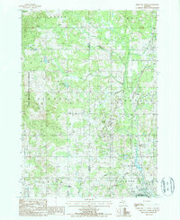
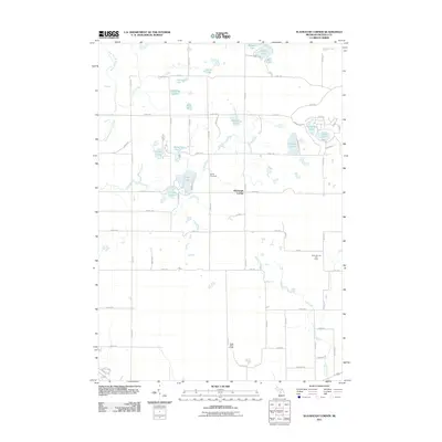
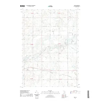
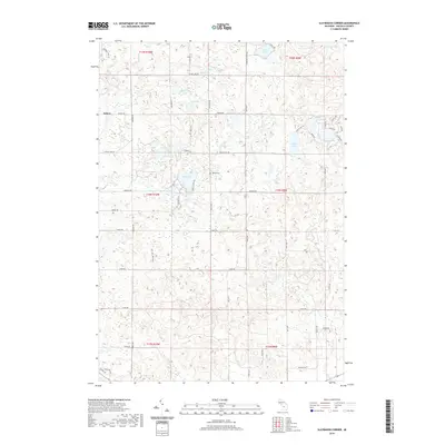
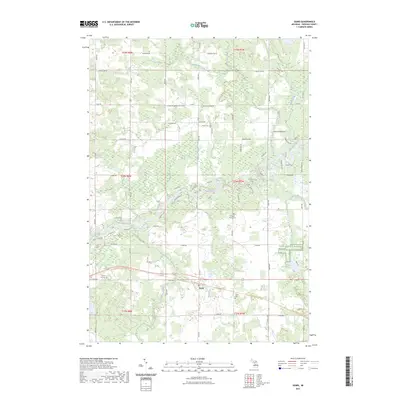
1931 Map of Chase NE
USGS Topo · Published 1931About this map
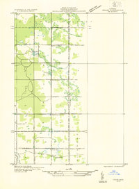
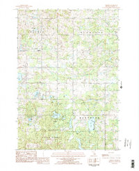
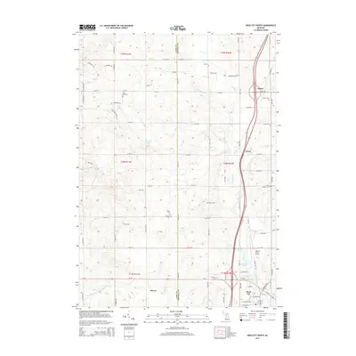
The Pere Marquette railroad corridor anchors the southern portion of this landscape, passing through the small settlement of Oliver as it follows the valley of the Middle Branch Pere Marquette R. Compiled in the early 1930s from Air Corps aerial photography, this survey reveals a rural district on the boundary of Lake and Osceola counties defined by its scattered educational centers. From Deer Lake Sch in the north to Oliver Sch in the south, these schoolhouses served a dispersed community of farms and homesteads. The transition between Ellsworth, LeRoy, Chase, and Richmond townships is marked by significant water features, including Deer Lake and Stowell Lake, while the nascent U S Highway No 10 provides a primary automotive artery across the southern townships, paralleling the rail line.
Find a feature on this map
20 named features on this map. Tap any name to fly to it.
Don’t see what you’re looking for? This feature index may not catch every label — zoom into the map to look around manually.
Map Details
Editions of this 1931 Chase NE Map
This is the sole edition of this map. No revisions or reprints were ever made.
Historical Maps of Reed City Through Time
34 maps found
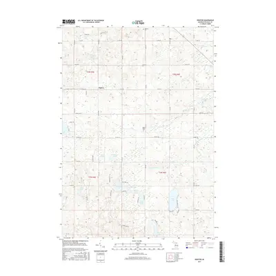
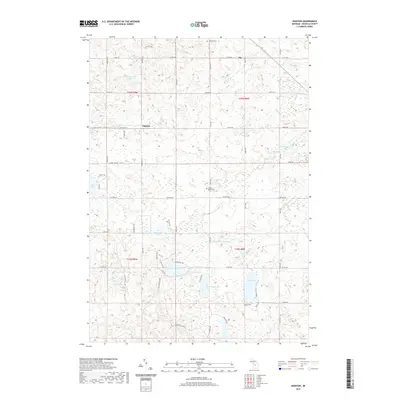
1931 Chase NE
Osceola County, MI
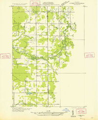
1933 Luther SE
Osceola County, MI
1957 Cadillac South
Osceola County, MI
1959 Lake
Osceola County, MI
1983 Dighton
Osceola County, MI
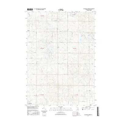
1983 Slaybaugh Corner
Osceola County, MI
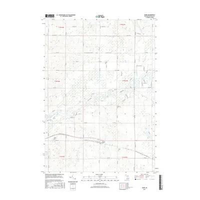
1984 Sears
Osceola County, MI
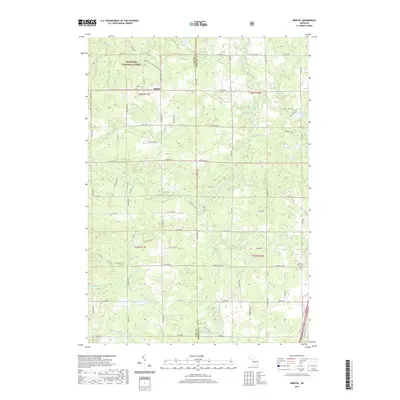
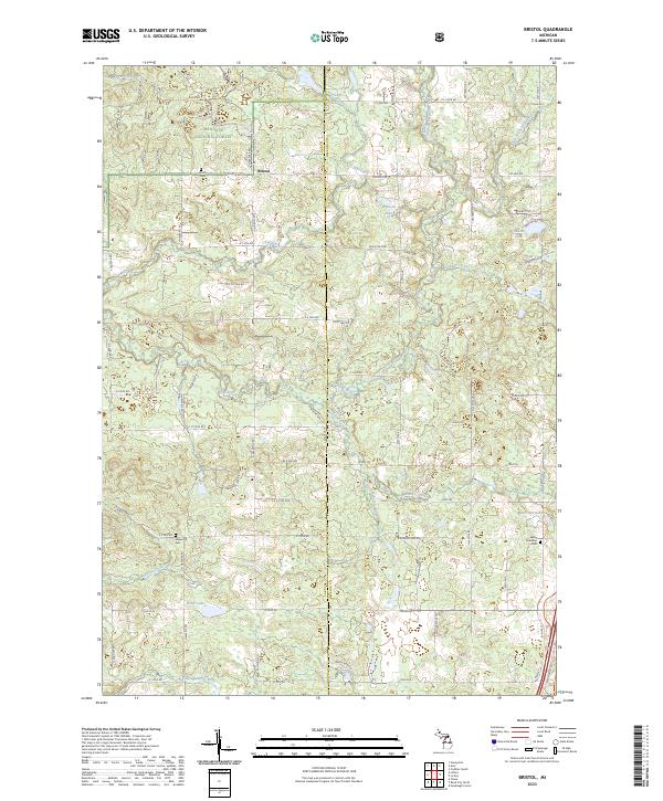
1987 Bristol
Osceola County, MI
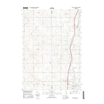
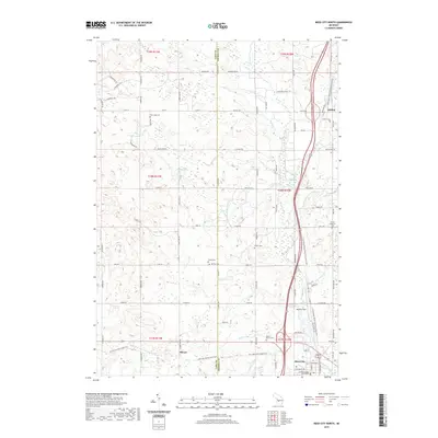
1987 Reed City North
Osceola County, MI
2011 Dighton
Osceola County, MI
2011 Reed City North
Osceola County, MI
2011 Sears
Osceola County, MI
2011 Slaybaugh Corner
Osceola County, MI
2012 Bristol
Osceola County, MI
2014 Bristol
Osceola County, MI
2014 Dighton
Osceola County, MI
2014 Reed City North
Osceola County, MI
2014 Sears
Osceola County, MI
2014 Slaybaugh Corner
Osceola County, MI
2017 Bristol
Osceola County, MI
2017 Dighton
Osceola County, MI
2017 Reed City North
Osceola County, MI
2017 Sears
Osceola County, MI
2017 Slaybaugh Corner
Osceola County, MI
2019 Bristol
Osceola County, MI
2019 Dighton
Osceola County, MI
2019 Reed City North
Osceola County, MI
2019 Sears
Osceola County, MI
2019 Slaybaugh Corner
Osceola County, MI
2023 Bristol
Osceola County, MI
2023 Dighton
Osceola County, MI
2023 Reed City North
Osceola County, MI
2023 Sears
Osceola County, MI
2023 Slaybaugh Corner
Osceola County, MI