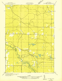
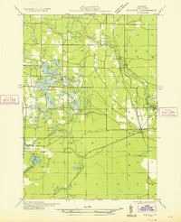
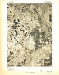
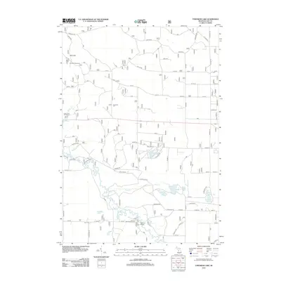
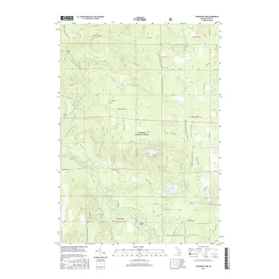
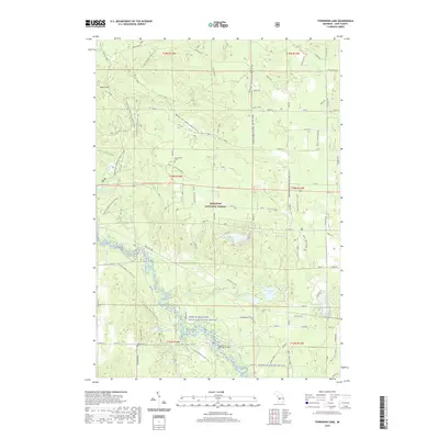
1931 Map of Baldwin NW
USGS Topo · Published 1931About this map
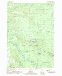
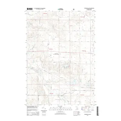
Manistee National Forest dominates this landscape, showing a network of rural roads and logging-era infrastructure along the winding Pere Marquette River. The settlement of Wingleton serves as a focal point near the center of the map, surrounded by a cluster of water bodies including Wingleton Lake, Feeder Lake, and Railroad Lake. This 1931 field examination records the transition of the region as early automotive travel began to shape the corridor along U S Highway No 10. In the southern portion of the quadrangle, the Town Hall and the broad expanse of Pleasant Plains indicate the sparse but established civic footprint of Lake County during the interwar period. The intricate oxbows of the river and small feeder streams like Kinney Creek reveal the natural drainage patterns that defined local land use and transit before modern development.
Find a feature on this map
17 named features on this map. Tap any name to fly to it.
Don’t see what you’re looking for? This feature index may not catch every label — zoom into the map to look around manually.
Map Details
Editions of this 1931 Baldwin NW Map
This is the sole edition of this map. No revisions or reprints were ever made.
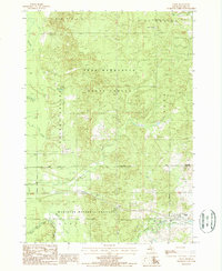
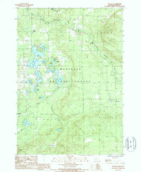
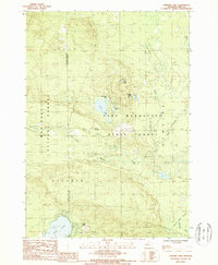
Historical Maps of Lake Township Through Time
34 maps found
1931 Baldwin NE
Lake County, MI
1931 Baldwin NW
Lake County, MI
1932 Chase NW
Lake County, MI

1933 Luther SW
Lake County, MI
1933 Peacock SE
Lake County, MI
1933 Peacock SW
Lake County, MI
1976 Baldwin NE
Lake County, MI
1976 Baldwin NW
Lake County, MI
1976 Wellston SE
Lake County, MI
1976 Wellston SW
Lake County, MI
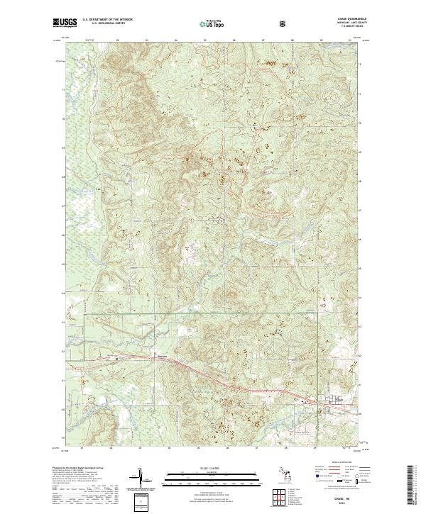
1987 Chase
Lake County, MI
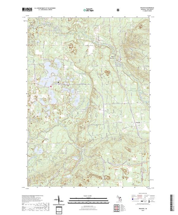
1987 Peacock
Lake County, MI
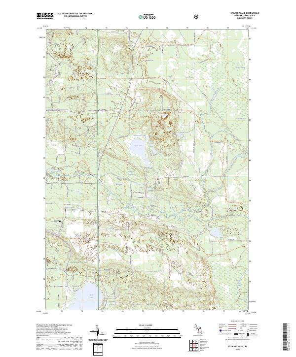
1987 Stewart Lake
Lake County, MI
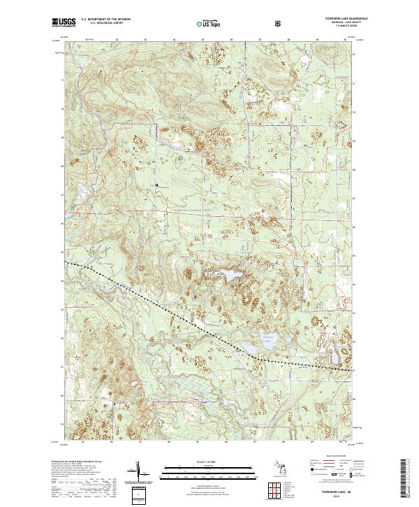
1987 Townsend Lake
Lake County, MI
2012 Chase
Lake County, MI
2012 Peacock
Lake County, MI
2012 Stewart Lake
Lake County, MI
2012 Townsend Lake
Lake County, MI
2014 Chase
Lake County, MI
2014 Peacock
Lake County, MI
2014 Stewart Lake
Lake County, MI
2014 Townsend Lake
Lake County, MI
2017 Chase
Lake County, MI
2017 Peacock
Lake County, MI
2017 Stewart Lake
Lake County, MI
2017 Townsend Lake
Lake County, MI
2019 Chase
Lake County, MI
2019 Peacock
Lake County, MI
2019 Stewart Lake
Lake County, MI
2019 Townsend Lake
Lake County, MI
2023 Chase
Lake County, MI
2023 Peacock
Lake County, MI
2023 Stewart Lake
Lake County, MI
2023 Townsend Lake
Lake County, MI