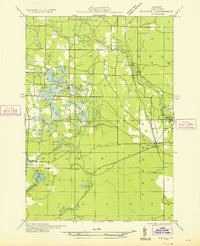
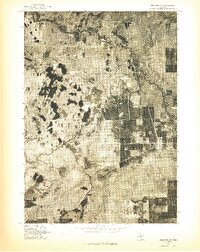
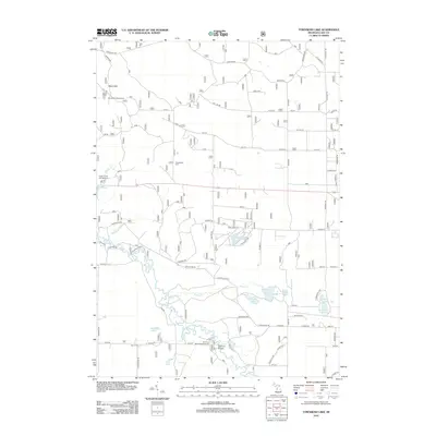
1933 Map of Peacock SW
USGS Topo · Published 1933About this map
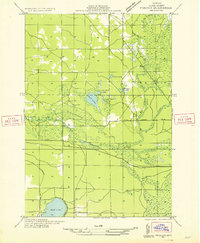
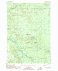
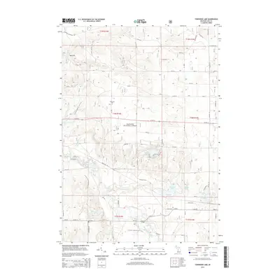
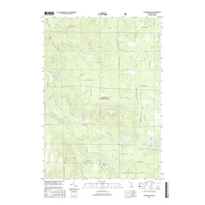
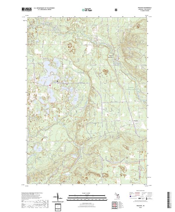
Little Manistee River and the Sauble River wind through this heavily glaciated pocket of Lake County, where early 1930s land use is defined by a dense network of inland lakes and nascent automotive infrastructure. The settlement of Peacock sits at the junction of the Pere Marquette railroad and State Hy No 63, serving as a vital transport link for the surrounding townships. Local education is centered at the Bass Lake Sch, situated near the extensive Sauble Chain Lakes and the notably named Isle of Four Winds within Johnson L. The landscape's transition from timber harvesting to recreation is evident in the presence of the Gremont Club and the watchful Peacock Fire Tower, which provided a vantage point over the township's vast second-growth forests and numerous water bodies like Loon Lake and Zobel Lake.
Find a feature on this map
39 named features on this map. Tap any name to fly to it.
Don’t see what you’re looking for? This feature index may not catch every label — zoom into the map to look around manually.
Map Details
Editions of this 1933 Peacock SW Map
This is the sole edition of this map. No revisions or reprints were ever made.
Historical Maps of Peacock Through Time
34 maps found
1931 Baldwin NE
Lake County, MI
1931 Baldwin NW
Lake County, MI
1932 Chase NW
Lake County, MI

1933 Luther SW
Lake County, MI
1933 Peacock SE
Lake County, MI
1933 Peacock SW
Lake County, MI
1976 Baldwin NE
Lake County, MI
1976 Baldwin NW
Lake County, MI
1976 Wellston SE
Lake County, MI
1976 Wellston SW
Lake County, MI
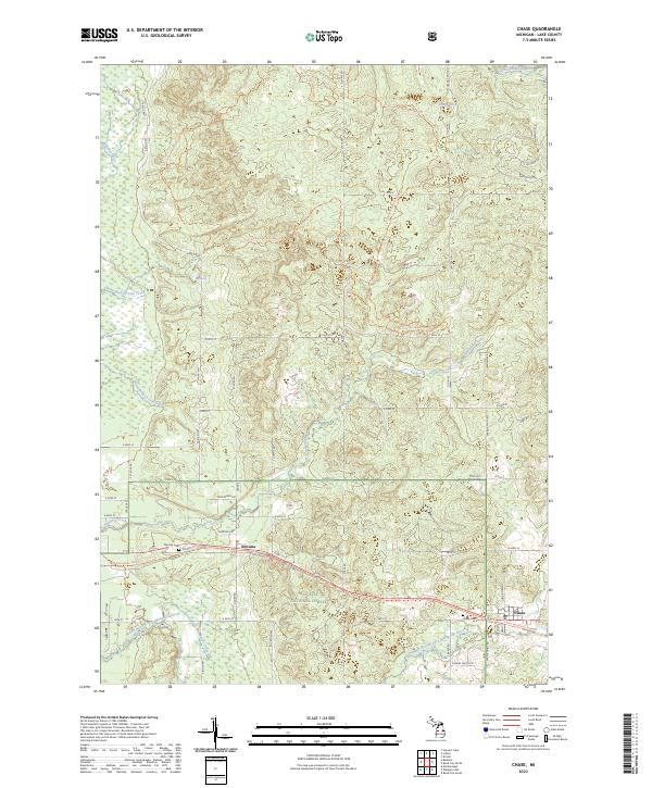
1987 Chase
Lake County, MI
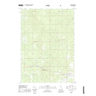
1987 Peacock
Lake County, MI
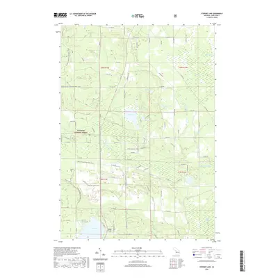
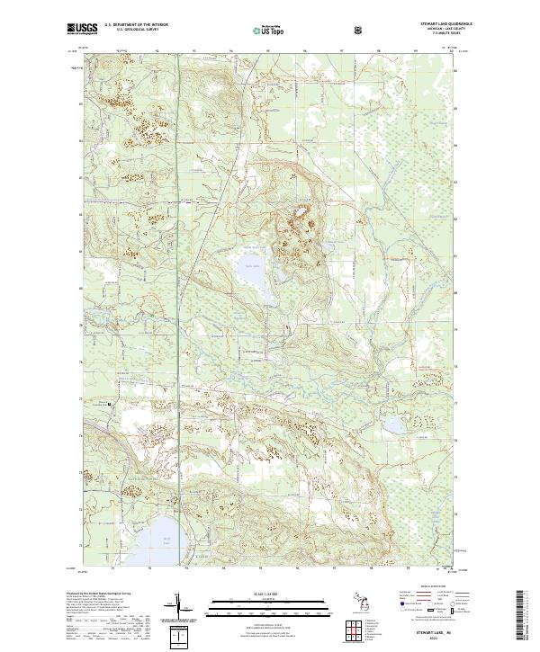
1987 Stewart Lake
Lake County, MI
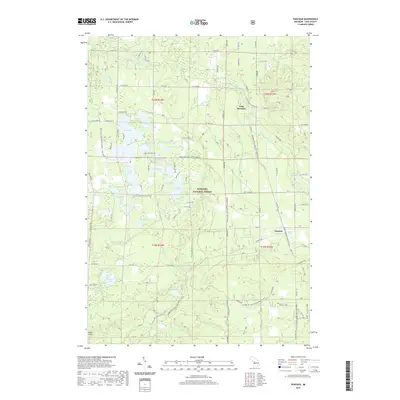
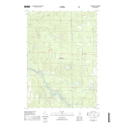
1987 Townsend Lake
Lake County, MI
2012 Chase
Lake County, MI
2012 Peacock
Lake County, MI
2012 Stewart Lake
Lake County, MI
2012 Townsend Lake
Lake County, MI
2014 Chase
Lake County, MI
2014 Peacock
Lake County, MI
2014 Stewart Lake
Lake County, MI
2014 Townsend Lake
Lake County, MI
2017 Chase
Lake County, MI
2017 Peacock
Lake County, MI
2017 Stewart Lake
Lake County, MI
2017 Townsend Lake
Lake County, MI
2019 Chase
Lake County, MI
2019 Peacock
Lake County, MI
2019 Stewart Lake
Lake County, MI
2019 Townsend Lake
Lake County, MI
2023 Chase
Lake County, MI
2023 Peacock
Lake County, MI
2023 Stewart Lake
Lake County, MI
2023 Townsend Lake
Lake County, MI
Featured Locations
- Eden Township, MI
- Elk Township, MI
- Little Manistee, Eden Township
- Sauble, Sauble Township
- Peacock, Peacock Township