
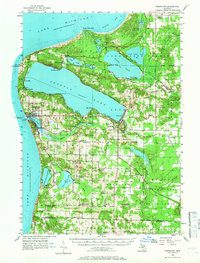
1956 Map of Frankfort
USGS Topo · Published 1958About this map
Crystal Lake dominates this mid-century survey of the Benzie County shoreline, where the community of Beulah sits at the eastern tip and the port of Frankfort marks the outlet to Lake Michigan. The map illustrates a rural landscape transitioning through the 1950s, evidenced by a high density of decommissioned local institutions such as the Lincoln Sch and Cooley Sch. The Ann Arbor railroad line skirts the southern shore of the lake, connecting the lakeside settlements with the interior. Long-standing maritime landmarks are well-documented, including the North Breakwater Lighthouse and Point Betsie, while the presence of the Frankfort Landing Field and the Honor Lookout Tower reflects the mid-century infrastructure for transportation and forestry management. Several smaller water bodies like Platte Lake and Lower Herring Lake punctuate the surrounding townships of Homestead, Joyfield, and Gilmore.
Find a feature on this map
76 named features on this map. Tap any name to fly to it.
Don’t see what you’re looking for? This feature index may not catch every label — zoom into the map to look around manually.
Map Details
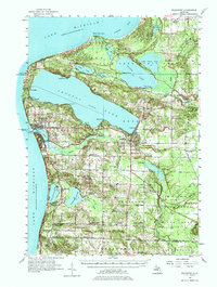
Editions of this 1956 Frankfort Map
3 editions found
Other maps of this area

1954 · Traverse City
USGS Topo · 1:250,000

1954 · Manitowoc
USGS Topo · 1:250,000

1956 · Onekama
USGS Topo · 1:62,500

1956 · Bar Lake
USGS Topo · 1:62,500

1956 · Thompsonville
USGS Topo · 1:62,500

1957 · Empire
USGS Topo · 1:62,500

1957 · Copemish
USGS Topo · 1:62,500

1957 · Maple City
USGS Topo · 1:62,500

1958 · Traverse City
USGS Topo · 1:250,000

1958 · Manitowoc
USGS Topo · 1:250,000