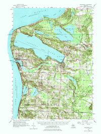
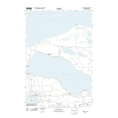
1956 Map of Frankfort
USGS Topo · Published 1975About this map
Crystal Lake and the coastal bluffs of Lake Michigan anchor this mid-century portrait of Benzie County. The maritime heritage of the region is evident at Lighthouse Point Betsie and the North Breakwater Lighthouse, marking the entrance to the Frankfort harbor. This era shows a landscape in transition, where the Ann Arbor Railroad skirts the southern shores of the inland lakes and serves the growing village of Beulah. A significant number of rural landmarks are noted as inactive during this period, including the Lincoln Sch (Abandoned), Holmes Sch (Abandoned), and Herring Lake Sch (Abandoned), suggesting a consolidation of local education. The map also details the early layout of the Frankfort Landing Field and the spiritual hubs of the community at Gilmore Ch and Union Chapel.
Find a feature on this map
70 named features on this map. Tap any name to fly to it.
Don’t see what you’re looking for? This feature index may not catch every label — zoom into the map to look around manually.
Map Details
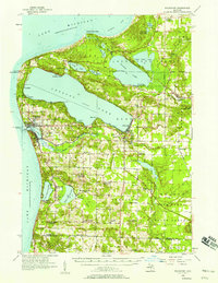
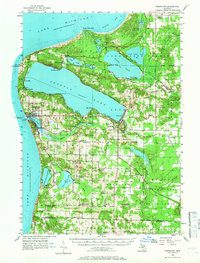
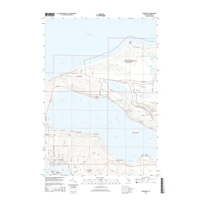
Editions of this 1956 Frankfort Map
3 editions found
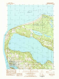
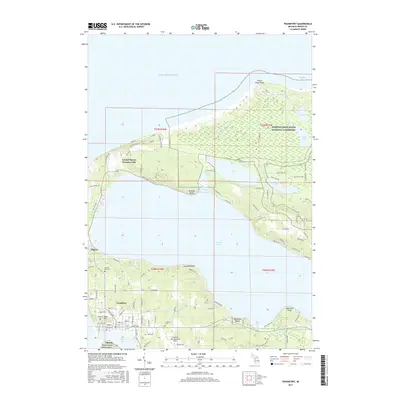
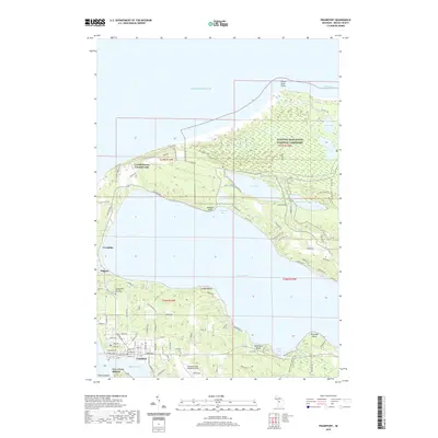
Historical Maps of Frankfort Through Time
7 maps found

Featured Locations
- Frankfort, MI
- Benzonia, Benzonia Township
- Beulah, Benzonia Township
- Elberta, Gilmore Township
- Weldon, Joyfield Township